Transport Functions
Rail
Road
Hub Profile
Place type
Provincial seat
Region
Leiria
Population
8,993
Time zone
Europe/Lisbon
Elevation
46 m
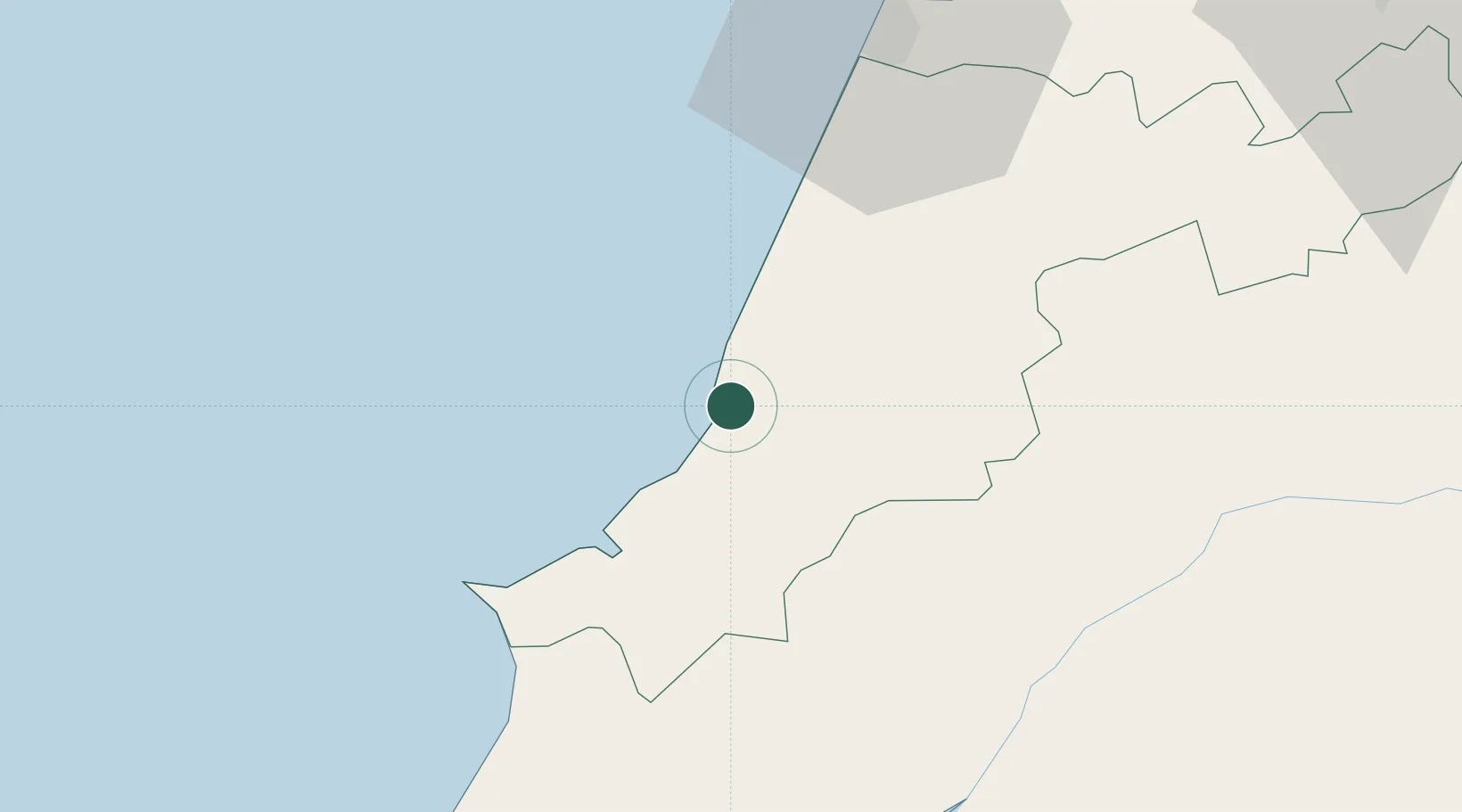
Location
Nearby Logistics Neighbours
Cities
- 1Pataias9 km
- 2São Martinho do Porto11 km
- 3Martinganca13 km
- 4Maceira18 km
- 5Salir de Matos19 km
Ports
- 1Figueira Da Foz64 km
- 2Lisboa100 km
- 3Setubal121 km
- 4Aveiro122 km
- 5Oporto176 km
Airports
- 1Monte Real Air Base30 km
- 2Tancos Airbase62 km
- 3Alverca Air Base80 km
- 4Aerodromo Municipal de Coimbra80 km
- 5Sintra Air Base89 km
Trade Zones
- 1VGP Park Santa Maria da Feira154 km
- 2Zona Livre Tecnológica Masotinhos178 km
- 3Zona Franca de Vigo294 km
- 4Puerto de Huelva318 km
- 5Zona Franca de Sevilla367 km
DatabookThe Record of Consolidated Knowledge
Portugal beyond logistics?