Transport Functions
Port
Hub Profile
Place type
Populated place
Region
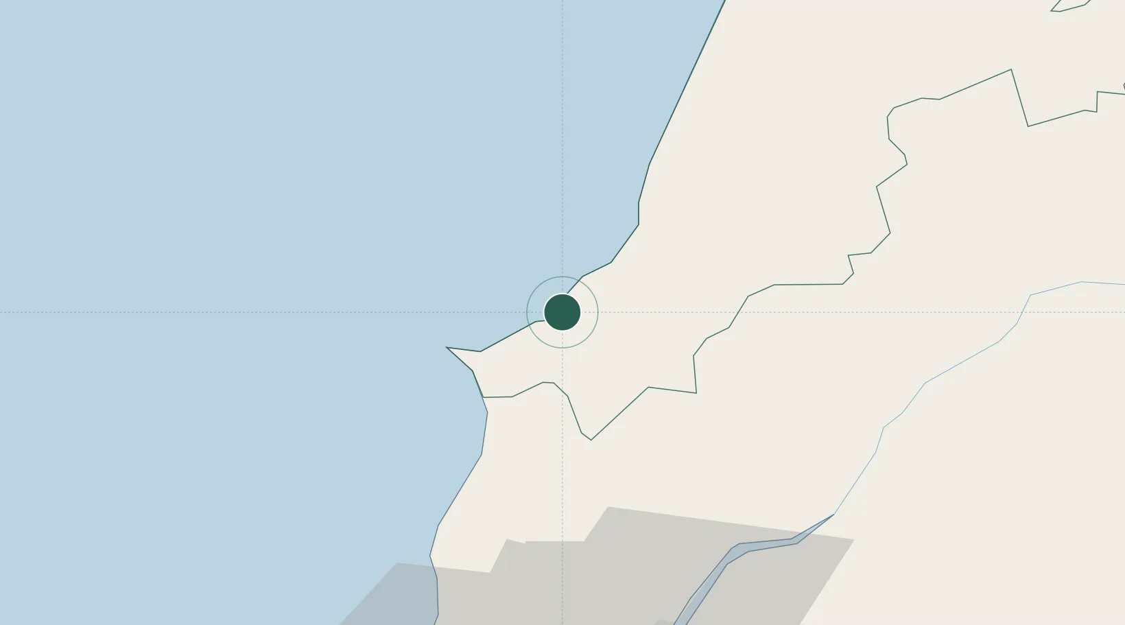
Leiria
Population
1,339
Time zone
Europe/Lisbon
Elevation
22 m
Location
Nearby Logistics Neighbours
Cities
- 1Caldas da Rainha8 km
- 2Óbidos9 km
- 3Salir de Matos10 km
- 4São Martinho do Porto12 km
- 5Peniche17 km
Ports
- 1Lisboa82 km
- 2Figueira Da Foz86 km
- 3Setubal106 km
- 4Aveiro144 km
- 5Sines168 km
Airports
- 1Monte Real Air Base52 km
- 2Alverca Air Base63 km
- 3Sintra Air Base68 km
- 4Lisbon Humberto Delgado Airport73 km
- 5Tancos Airbase73 km
Trade Zones
- 1VGP Park Santa Maria da Feira176 km
- 2Zona Livre Tecnológica Masotinhos199 km
- 3Puerto de Huelva312 km
- 4Zona Franca de Vigo313 km
- 5Zona Franca de Sevilla365 km
DatabookThe Record of Consolidated Knowledge
Portugal beyond logistics?