UN/LOCODE hub · Portugal
PTPXO
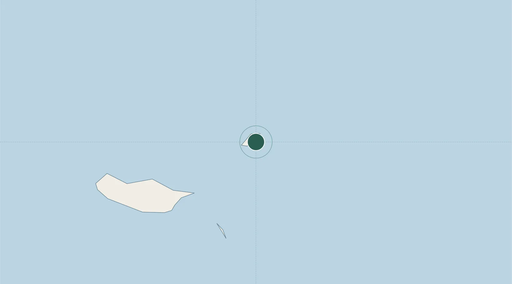
Porto Santo Island
33.0586°, -16.3122°
3
Transport functions
1
Container terminals
Transport Functions
Port
Airport
Border Crossing
Hub Profile
Region
30
Logistics facilities
1
Container terminals
1
Location
Nearby Logistics Neighbours
Cities
- 1Caniçal53 km
- 2Machico58 km
- 3Porto da Cruz59 km
- 4Zona Franca da Madeira60 km
- 5Funchal, Madeira73 km
Ports
- 1Funchal74 km
- 2Santa Cruz De La Palma506 km
- 3Santa Cruz De Tenerife511 km
- 4Arrecife528 km
- 5Las Palmas553 km
Airports
Trade Zones
DatabookThe Record of Consolidated Knowledge
Portugal beyond logistics?