Transport Functions
Rail
Road
Hub Profile
Place type
Provincial seat
Region
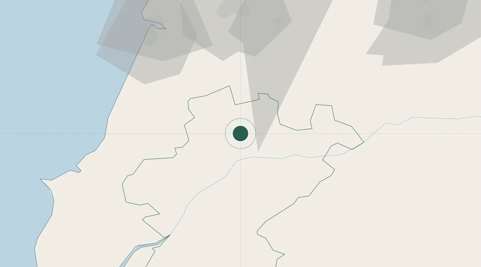
Santarém
Population
19,168
Time zone
Europe/Lisbon
Elevation
55 m
Location
Nearby Logistics Neighbours
Cities
- 1Madalena5 km
- 2Caxarias15 km
- 3Entroncamento15 km
- 4Pinhel18 km
- 5Riachos20 km
Ports
- 1Figueira Da Foz72 km
- 2Aveiro118 km
- 3Lisboa119 km
- 4Setubal128 km
- 5Oporto174 km
Airports
Trade Zones
- 1VGP Park Santa Maria da Feira149 km
- 2Zona Livre Tecnológica Masotinhos177 km
- 3Puerto de Huelva290 km
- 4Zona Franca de Vigo294 km
- 5Zona Franca de Sevilla328 km
DatabookThe Record of Consolidated Knowledge
Portugal beyond logistics?