Transport Functions
Rail
Road
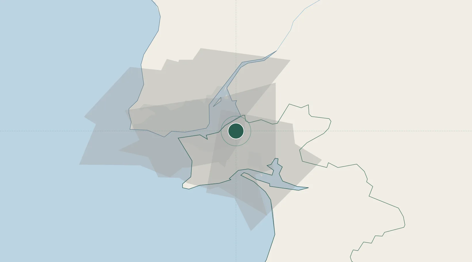
Hub Profile
Place type
Provincial seat
Region
Setúbal
Population
30,011
Time zone
Europe/Lisbon
Elevation
9 m
Location
Nearby Logistics Neighbours
Cities
- 1Pinhal Novo9 km
- 2Barreiro9 km
- 3Palhais12 km
- 4Coina13 km
- 5Moscavide14 km
Ports
- 1Lisboa17 km
- 2Setubal21 km
- 3Sines84 km
- 4Figueira Da Foz162 km
- 5Lagos181 km
Airports
- 1Montijo Air Base6 km
- 2Lisbon Humberto Delgado Airport17 km
- 3Alverca Air Base21 km
- 4Cascais Airport34 km
- 5Sintra Air Base36 km
Trade Zones
- 1Puerto de Huelva238 km
- 2VGP Park Santa Maria da Feira251 km
- 3Zona Livre Tecnológica Masotinhos276 km
- 4Zona Franca de Sevilla301 km
- 5Zona Franca de Cádiz341 km
DatabookThe Record of Consolidated Knowledge
Portugal beyond logistics?