Transport Functions
Rail
Road
Hub Profile
Place type
Provincial seat
Region
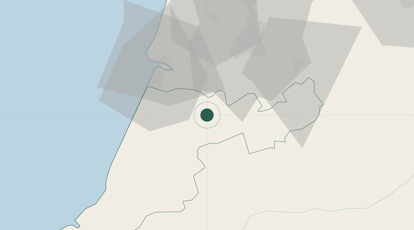
Leiria
Population
17,355
Time zone
Europe/Lisbon
Elevation
69 m
Location
Nearby Logistics Neighbours
Cities
- 1Pelariga6 km
- 2Albergaria dos Doze15 km
- 3Monte Redondo16 km
- 4Caranguejeira22 km
- 5Leirosa24 km
Ports
- 1Figueira Da Foz32 km
- 2Aveiro82 km
- 3Oporto137 km
- 4Porto De Leixoes141 km
- 5Lisboa143 km
Airports
Trade Zones
- 1VGP Park Santa Maria da Feira113 km
- 2Zona Livre Tecnológica Masotinhos140 km
- 3Zona Franca de Vigo257 km
- 4Puerto de Huelva329 km
- 5Zona Franca de Sevilla367 km
DatabookThe Record of Consolidated Knowledge
Portugal beyond logistics?