UN/LOCODE hub · Portugal
PTCER

Cernache

40.1333°, -8.4667°
2
Transport functions

Transport Functions

Road
Multimodal
UN/LOCODE

Hub Profile

Place type
Populated place
GeoNames
Region
Coimbra
GeoNames
Time zone
Europe/Lisbon
GeoNames
Elevation
106 m
GeoNames

Location

Location of PTCER
Natural Earth 10m (public domain) · Coimbra · PTCER · 40.13, -8.47GoogleOSMYandex

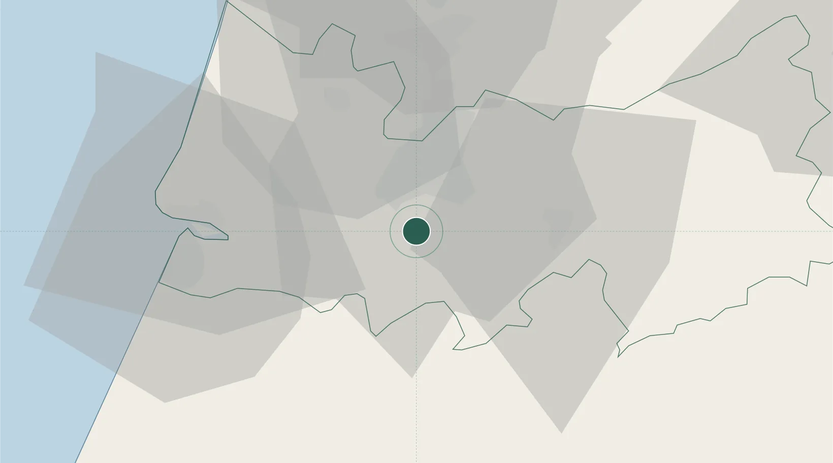
Nearby Logistics Neighbours

Cities
  1. 1Coimbra9 km
  2. 2Miranda do Corvo12 km
  3. 3Soure15 km
  4. 4Montemor-o-Velho19 km
  5. 5Lousã20 km
Nearest neighbours — logibook spatial index (haversine) over the source coordinates
Ports
  1. 1Figueira Da Foz33 km
  2. 2Aveiro60 km
  3. 3Oporto114 km
  4. 4Porto De Leixoes118 km
  5. 5Lisboa170 km
Nearest neighbours — logibook spatial index (haversine) over the source coordinates
Airports
  1. 1Aerodromo Municipal de Coimbra3 km
  2. 2Monte Real Air Base49 km
  3. 3Tancos Airbase74 km
  4. 4Aerodromo Goncalves Lobato (Viseu Airport)82 km
  5. 5Ovar Air Base88 km
Nearest neighbours — logibook spatial index (haversine) over the source coordinates
Trade Zones
  1. 1VGP Park Santa Maria da Feira89 km
  2. 2Zona Livre Tecnológica Masotinhos117 km
  3. 3Zona Franca de Vigo234 km
  4. 4Puerto de Huelva345 km
  5. 5Depósito Franco de La Coruña359 km
Nearest neighbours — logibook spatial index (haversine) over the source coordinates
DatabookThe Record of Consolidated Knowledge
Portugal beyond logistics?
Browse databook

All Sources

LocationsUN/LOCODE
UN/LOCODE — free
Portsthe NGA World Port Index
Public domain (US gov)
AirportsOurAirports
Public domain
Trade Zonesthe World Bank SEZ database
CC BY 4.0
Trade ZonesOpen Zone Map
CC BY
← Portugal locations