UN/LOCODE hub · Portugal
PTFDT

Fonte da Telha

38.5667°, -9.1833°
1
Transport functions

Transport Functions

Port
UN/LOCODE

Hub Profile

Region
15
GeoNames

Location

Location of PTFDT
Natural Earth 10m (public domain) · 15 · PTFDT · 38.57, -9.18GoogleOSMYandex

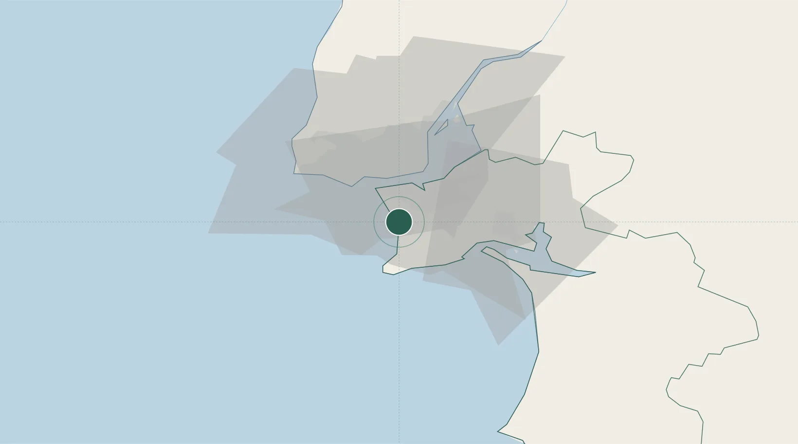
Nearby Logistics Neighbours

Cities
  1. 1Costa da Caparica8 km
  2. 2Casal do Marco9 km
  3. 3Seixal10 km
  4. 4Banatica11 km
  5. 5Caparica11 km
Nearest neighbours — logibook spatial index (haversine) over the source coordinates
Ports
  1. 1Lisboa15 km
  2. 2Setubal25 km
  3. 3Sines74 km
  4. 4Lagos171 km
  5. 5Figueira Da Foz178 km
Nearest neighbours — logibook spatial index (haversine) over the source coordinates
Airports
  1. 1Montijo Air Base21 km
  2. 2Cascais Airport23 km
  3. 3Lisbon Humberto Delgado Airport24 km
  4. 4Sintra Air Base32 km
  5. 5Alverca Air Base38 km
Nearest neighbours — logibook spatial index (haversine) over the source coordinates
Trade Zones
  1. 1Puerto de Huelva243 km
  2. 2VGP Park Santa Maria da Feira268 km
  3. 3Zona Livre Tecnológica Masotinhos293 km
  4. 4Zona Franca de Sevilla311 km
  5. 5Zona Franca de Cádiz345 km
Nearest neighbours — logibook spatial index (haversine) over the source coordinates
DatabookThe Record of Consolidated Knowledge
Portugal beyond logistics?
Browse databook

All Sources

LocationsUN/LOCODE
UN/LOCODE — free
Portsthe NGA World Port Index
Public domain (US gov)
AirportsOurAirports
Public domain
Trade Zonesthe World Bank SEZ database
CC BY 4.0
Trade ZonesOpen Zone Map
CC BY
← Portugal locations