Transport Functions
Rail
Road
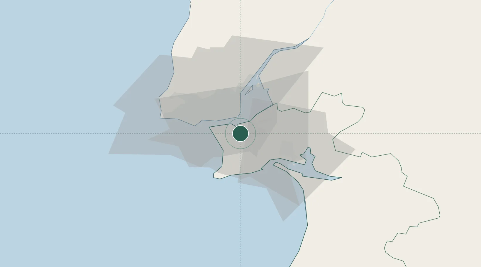
Hub Profile
Place type
Provincial seat
Region
Setúbal
Population
2,776
Time zone
Europe/Lisbon
Elevation
20 m
Location
Nearby Logistics Neighbours
Cities
- 1Casal do Marco4 km
- 2Barreiro5 km
- 3Palhais5 km
- 4Cova da Piedade6 km
- 5Coina6 km
Ports
- 1Lisboa9 km
- 2Setubal22 km
- 3Sines79 km
- 4Figueira Da Foz170 km
- 5Lagos176 km
Airports
- 1Montijo Air Base10 km
- 2Lisbon Humberto Delgado Airport17 km
- 3Cascais Airport24 km
- 4Alverca Air Base28 km
- 5Sintra Air Base30 km
Trade Zones
- 1Puerto de Huelva242 km
- 2VGP Park Santa Maria da Feira260 km
- 3Zona Livre Tecnológica Masotinhos285 km
- 4Zona Franca de Sevilla308 km
- 5Zona Franca de Cádiz344 km
DatabookThe Record of Consolidated Knowledge
Portugal beyond logistics?