UN/LOCODE hub · Portugal
PTCAP
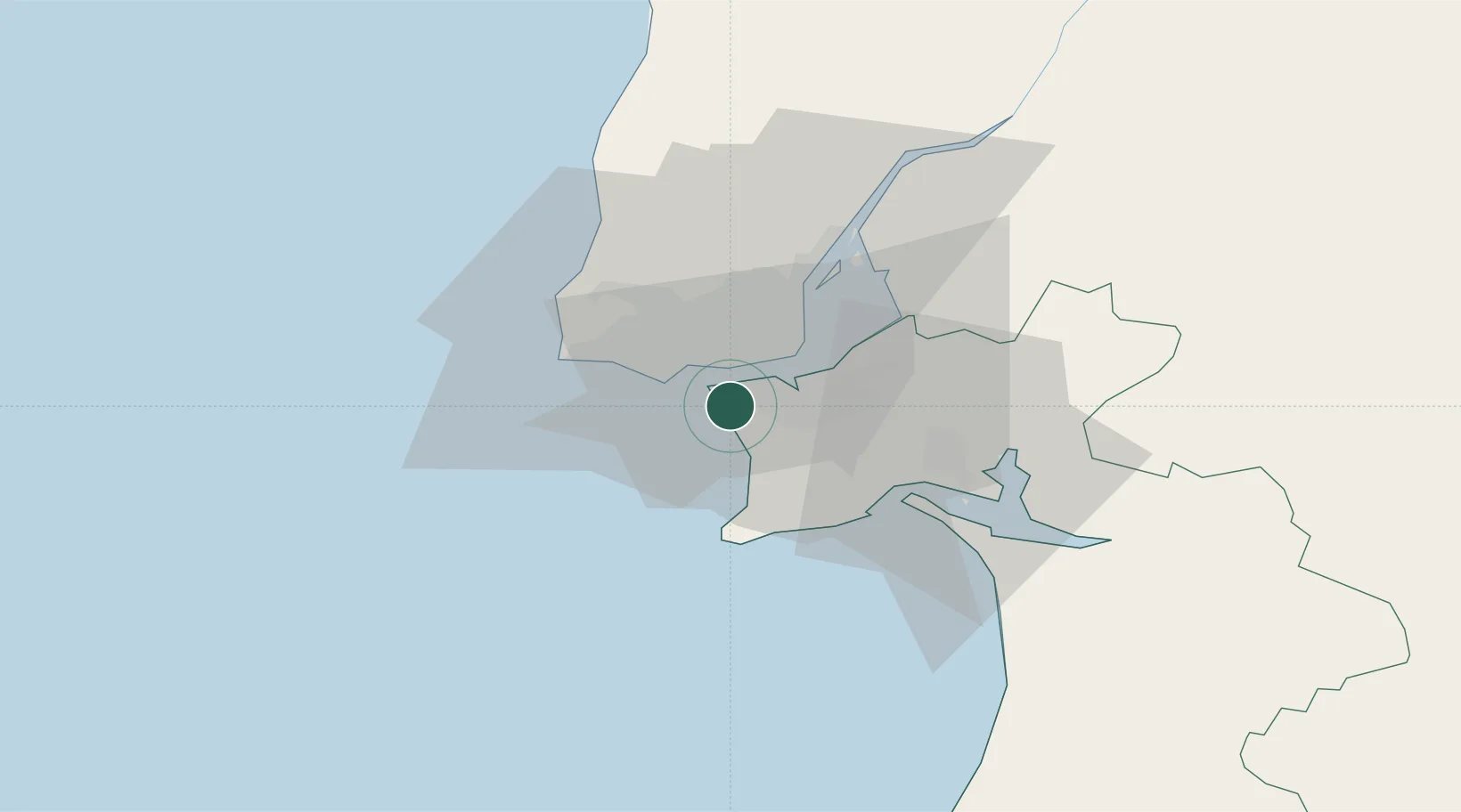
Costa da Caparica
38.6333°, -9.2167°
13,968
Population
1
Transport functions
Transport Functions
Port
Hub Profile
Place type
Populated place
Region
Setúbal
Population
13,968
Time zone
Europe/Lisbon
Elevation
12 m
Location
Nearby Logistics Neighbours
Cities
- 1Trafaria4 km
- 2Banatica4 km
- 3Caparica4 km
- 4Monte da Caparica4 km
- 5Torrão5 km
Ports
- 1Lisboa9 km
- 2Setubal30 km
- 3Sines82 km
- 4Figueira Da Foz172 km
- 5Lagos178 km
Airports
- 1Cascais Airport16 km
- 2Lisbon Humberto Delgado Airport18 km
- 3Montijo Air Base18 km
- 4Sintra Air Base24 km
- 5Alverca Air Base32 km
Trade Zones
- 1Puerto de Huelva250 km
- 2VGP Park Santa Maria da Feira262 km
- 3Zona Livre Tecnológica Masotinhos286 km
- 4Zona Franca de Sevilla317 km
- 5Zona Franca de Cádiz352 km
DatabookThe Record of Consolidated Knowledge
Portugal beyond logistics?