Transport Functions
Port
Road
Hub Profile
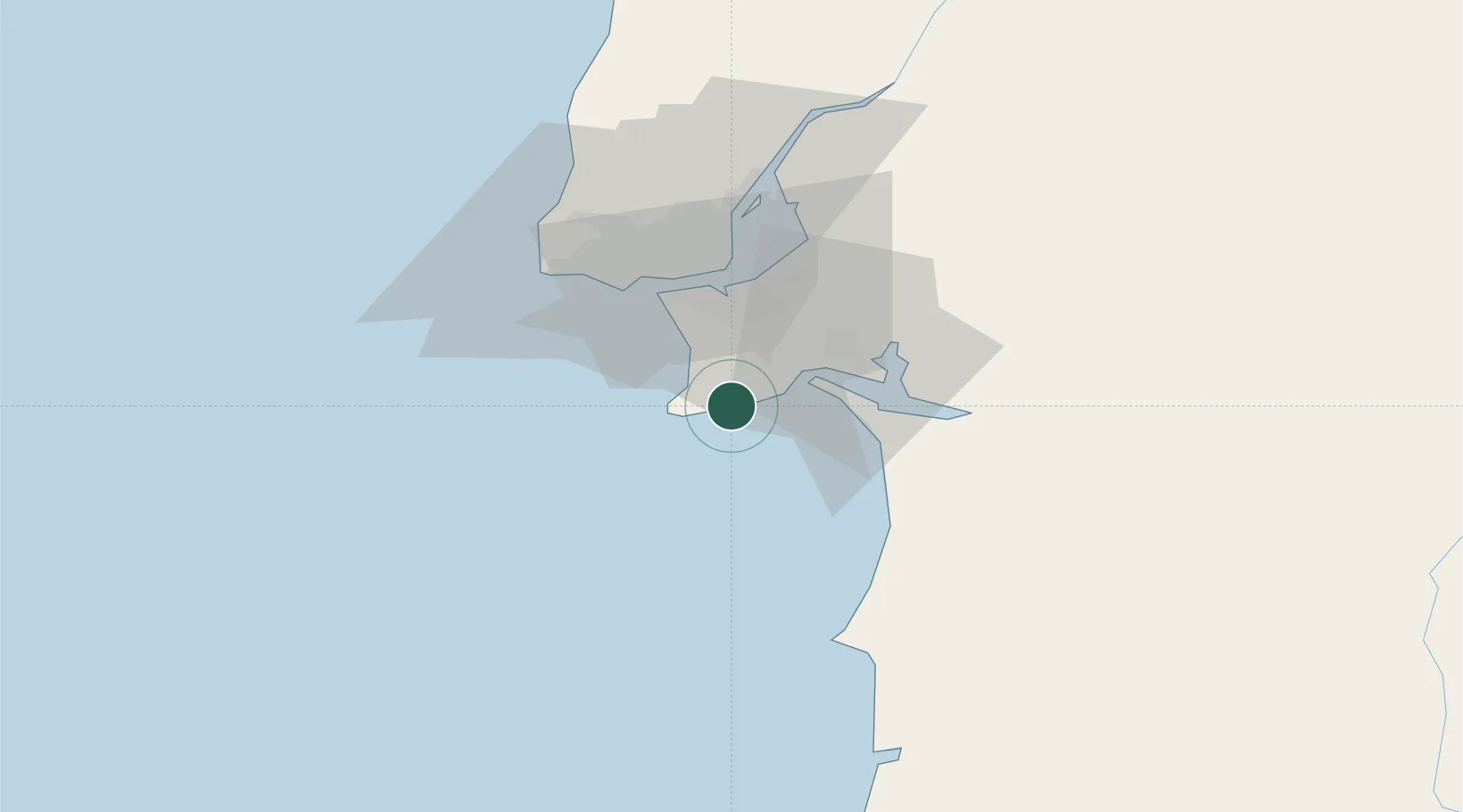
Place type
Populated place
Region
Setúbal
Population
41,134
Time zone
Europe/Lisbon
Elevation
26 m
Location
Nearby Logistics Neighbours
Cities
- 1Carrasqueira6 km
- 2Vila Nogueira de Azeitao12 km
- 3Fonte da Telha17 km
- 4Casal do Marco19 km
- 5Coina19 km
Airports
- 1Montijo Air Base31 km
- 2Lisbon Humberto Delgado Airport39 km
- 3Cascais Airport39 km
- 4Sintra Air Base49 km
- 5Alverca Air Base50 km
Trade Zones
- 1Puerto de Huelva229 km
- 2VGP Park Santa Maria da Feira282 km
- 3Zona Franca de Sevilla298 km
- 4Zona Livre Tecnológica Masotinhos307 km
- 5Zona Franca de Cádiz330 km
DatabookThe Record of Consolidated Knowledge
Portugal beyond logistics?