Transport Functions
Port
Road
Hub Profile
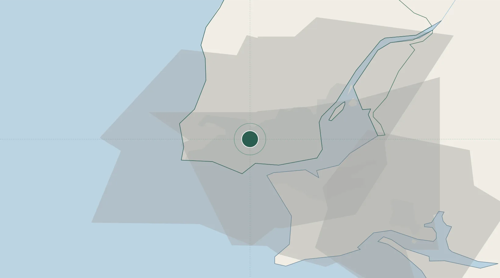
Place type
Populated place
Region
Lisbon
Population
93,982
Time zone
Europe/Lisbon
Elevation
123 m
Location
Nearby Logistics Neighbours
Cities
- 1Queluz de Baixo2 km
- 2Belas3 km
- 3Barcarena4 km
- 4Alfragide5 km
- 5Queluz5 km
Ports
- 1Lisboa14 km
- 2Setubal45 km
- 3Sines98 km
- 4Figueira Da Foz159 km
- 5Lagos195 km
Airports
- 1Cascais Airport7 km
- 2Sintra Air Base8 km
- 3Lisbon Humberto Delgado Airport14 km
- 4Montijo Air Base24 km
- 5Alverca Air Base27 km
Trade Zones
- 1VGP Park Santa Maria da Feira249 km
- 2Puerto de Huelva265 km
- 3Zona Livre Tecnológica Masotinhos273 km
- 4Zona Franca de Sevilla330 km
- 5Zona Franca de Cádiz367 km
DatabookThe Record of Consolidated Knowledge
Portugal beyond logistics?