Transport Functions
Road
Multimodal
Hub Profile
Place type
Populated place
Region
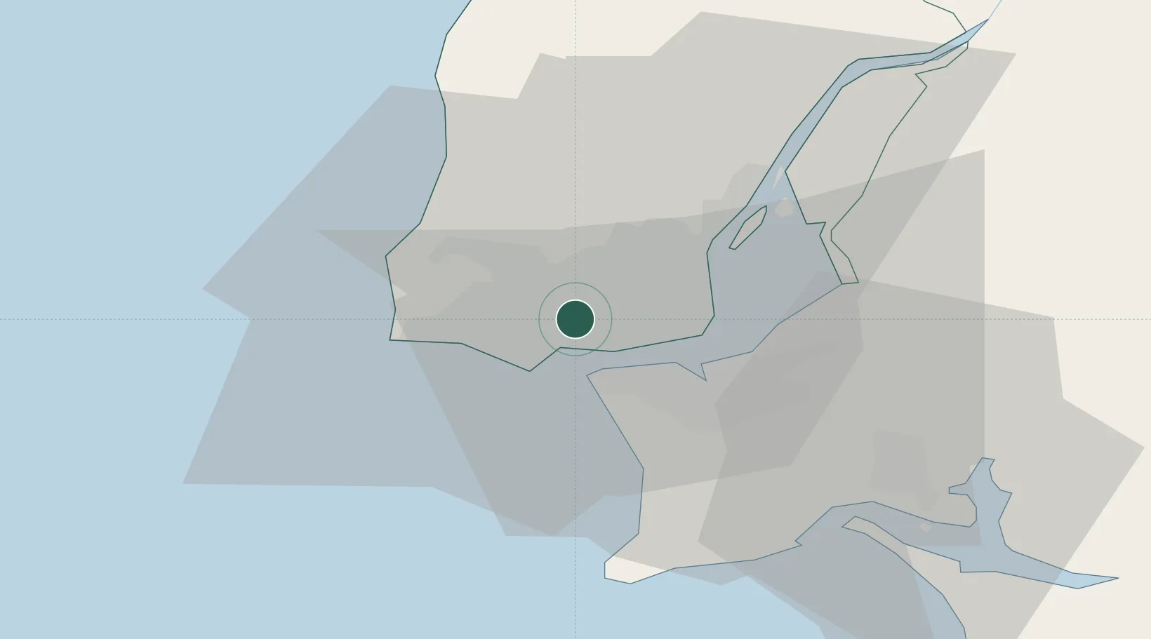
Lisbon
Time zone
Europe/Lisbon
Elevation
129 m
Location
Nearby Logistics Neighbours
Cities
- 1Barcarena1 km
- 2Queluz de Baixo2 km
- 3Queluz2 km
- 4Carnaxide2 km
- 5Linda-a-Velha2 km
Ports
- 1Lisboa9 km
- 2Setubal40 km
- 3Sines94 km
- 4Figueira Da Foz162 km
- 5Lagos190 km
Airports
- 1Cascais Airport8 km
- 2Lisbon Humberto Delgado Airport13 km
- 3Sintra Air Base13 km
- 4Montijo Air Base20 km
- 5Alverca Air Base26 km
Trade Zones
- 1VGP Park Santa Maria da Feira252 km
- 2Puerto de Huelva260 km
- 3Zona Livre Tecnológica Masotinhos276 km
- 4Zona Franca de Sevilla326 km
- 5Zona Franca de Cádiz363 km
DatabookThe Record of Consolidated Knowledge
Portugal beyond logistics?