Transport Functions
Road
Multimodal
Hub Profile
Place type
Populated place
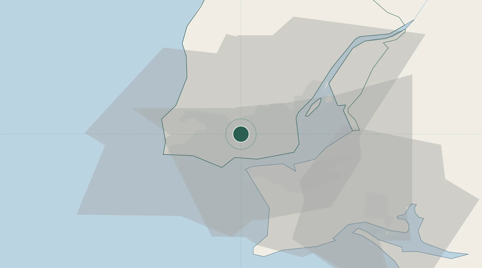
Region
Lisbon
Population
21,019
Time zone
Europe/Lisbon
Elevation
147 m
Location
Nearby Logistics Neighbours
Cities
- 1Queluz de Baixo2 km
- 2Queluz2 km
- 3Cacém3 km
- 4Amadora3 km
- 5Alfragide4 km
Ports
- 1Lisboa11 km
- 2Setubal42 km
- 3Sines97 km
- 4Figueira Da Foz158 km
- 5Lagos194 km
Airports
- 1Cascais Airport9 km
- 2Sintra Air Base10 km
- 3Lisbon Humberto Delgado Airport12 km
- 4Montijo Air Base21 km
- 5Alverca Air Base24 km
Trade Zones
- 1VGP Park Santa Maria da Feira248 km
- 2Puerto de Huelva263 km
- 3Zona Livre Tecnológica Masotinhos272 km
- 4Zona Franca de Sevilla327 km
- 5Zona Franca de Cádiz365 km
DatabookThe Record of Consolidated Knowledge
Portugal beyond logistics?