Transport Functions
Rail
Road
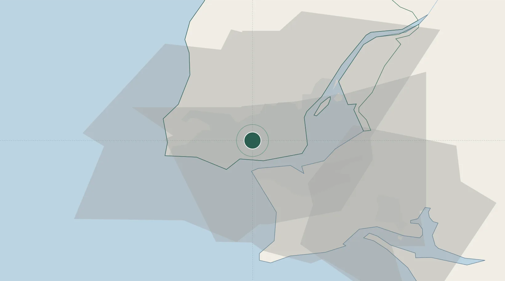
Hub Profile
Place type
Populated place
Region
Lisbon
Population
103,399
Time zone
Europe/Lisbon
Elevation
125 m
Location
Nearby Logistics Neighbours
Cities
- 1Amadora1 km
- 2Belas2 km
- 3Alfragide2 km
- 4Queluz de Baixo3 km
- 5Barcarena3 km
Ports
- 1Lisboa9 km
- 2Setubal40 km
- 3Sines95 km
- 4Figueira Da Foz159 km
- 5Lagos192 km
Airports
- 1Cascais Airport10 km
- 2Lisbon Humberto Delgado Airport11 km
- 3Sintra Air Base12 km
- 4Montijo Air Base19 km
- 5Alverca Air Base24 km
Trade Zones
- 1VGP Park Santa Maria da Feira250 km
- 2Puerto de Huelva260 km
- 3Zona Livre Tecnológica Masotinhos274 km
- 4Zona Franca de Sevilla325 km
- 5Zona Franca de Cádiz363 km
DatabookThe Record of Consolidated Knowledge
Portugal beyond logistics?