Transport Functions
Rail
Road
Hub Profile
Place type
Populated place
Region
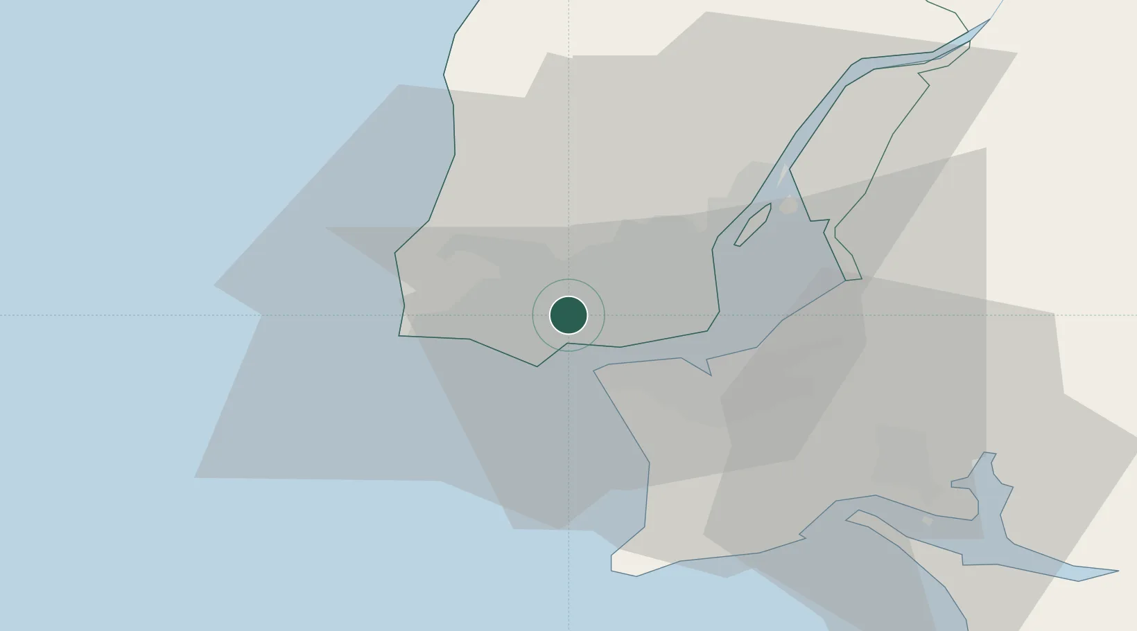
Lisbon
Population
11,968
Time zone
Europe/Lisbon
Elevation
47 m
Location
Nearby Logistics Neighbours
Cities
- 1Alfragide1 km
- 2Queluz de Baixo2 km
- 3Porto Salvo2 km
- 4Queluz3 km
- 5Carnaxide3 km
Ports
- 1Lisboa11 km
- 2Setubal41 km
- 3Sines94 km
- 4Figueira Da Foz162 km
- 5Lagos191 km
Airports
- 1Cascais Airport6 km
- 2Sintra Air Base12 km
- 3Lisbon Humberto Delgado Airport14 km
- 4Montijo Air Base22 km
- 5Alverca Air Base28 km
Trade Zones
- 1VGP Park Santa Maria da Feira252 km
- 2Puerto de Huelva261 km
- 3Zona Livre Tecnológica Masotinhos276 km
- 4Zona Franca de Sevilla327 km
- 5Zona Franca de Cádiz364 km
DatabookThe Record of Consolidated Knowledge
Portugal beyond logistics?