Transport Functions
Port
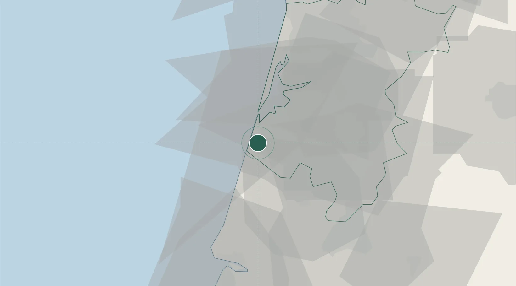
Location
Nearby Logistics Neighbours
Cities
- 1Canas de Santa Maria7 km
- 2Gafanha da Nazaré10 km
- 3Cacia11 km
- 4Aveiro13 km
- 5Nariz13 km
Ports
- 1Aveiro14 km
- 2Figueira Da Foz45 km
- 3Oporto67 km
- 4Porto De Leixoes71 km
- 5Viana Do Castelo128 km
Airports
Trade Zones
- 1VGP Park Santa Maria da Feira45 km
- 2Zona Livre Tecnológica Masotinhos70 km
- 3Zona Franca de Vigo187 km
- 4Depósito Franco de La Coruña314 km
- 5Puerto de Huelva397 km
DatabookThe Record of Consolidated Knowledge
Portugal beyond logistics?