Transport Functions
Rail
Road
Hub Profile
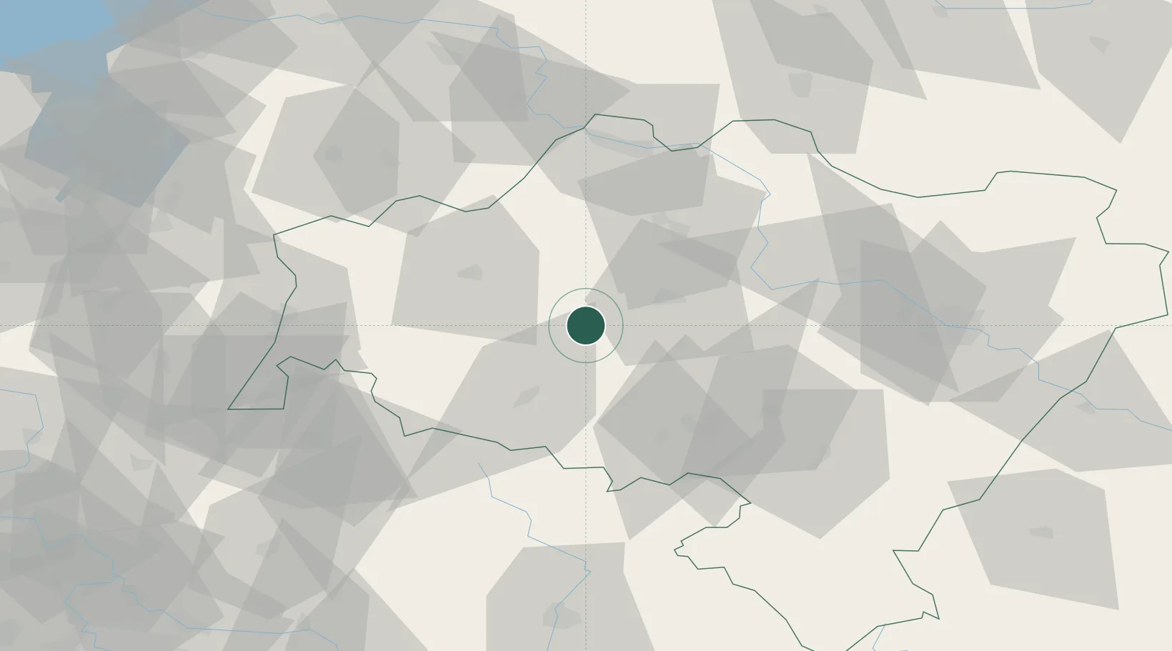
Place type
Populated place
Region
Lower Silesia
Population
15,564
Time zone
Europe/Warsaw
Elevation
211 m
Location
Nearby Logistics Neighbours
Cities
- 1Chojnów17 km
- 2Raciborowice Górne18 km
- 3Boleslawiec30 km
- 4Gromadka30 km
- 5Chocianów33 km
Ports
- 1Szczecin272 km
- 2Police287 km
- 3Swinoujscie331 km
- 4Kolobrzeg346 km
- 5Wolgast357 km
Airports
- 1Copernicus Wrocław Airport67 km
- 2Rothenburg/Görlitz Airfield73 km
- 3Zielona Góra-Babimost Airport114 km
- 4Kostomlaty Airstrip123 km
- 5Pardubice Airport123 km
Trade Zones
DatabookThe Record of Consolidated Knowledge
Poland beyond logistics?