Transport Functions
Multimodal
Hub Profile
Place type
District seat
Region
Lower Silesia
Population
2,150
Time zone
Europe/Warsaw
Elevation
148 m
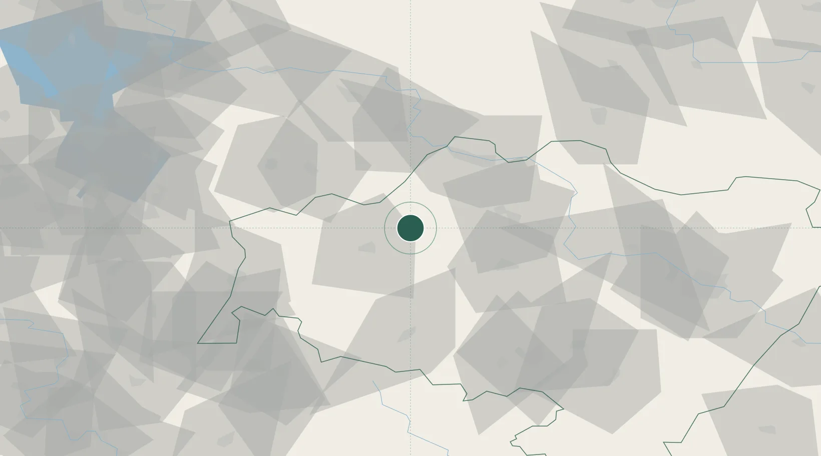
Location
Nearby Logistics Neighbours
Cities
- 1Chocianów12 km
- 2Boleslawiec17 km
- 3Chojnów17 km
- 4Raciborowice Górne19 km
- 5Szprotawa27 km
Ports
- 1Szczecin242 km
- 2Police257 km
- 3Swinoujscie301 km
- 4Kolobrzeg317 km
- 5Wolgast326 km
Airports
Trade Zones
DatabookThe Record of Consolidated Knowledge
Poland beyond logistics?