Transport Functions
Rail
Road
Hub Profile
Place type
Populated place
Region
Lower Silesia
Time zone
Europe/Warsaw
Elevation
240 m
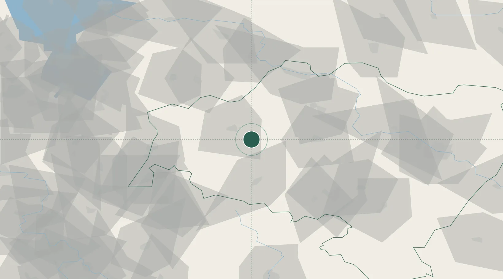
Location
Nearby Logistics Neighbours
Cities
- 1Boleslawiec12 km
- 2Zlotoryja18 km
- 3Chojnów18 km
- 4Gromadka19 km
- 5Nowogrodziec21 km
Ports
- 1Szczecin259 km
- 2Police274 km
- 3Swinoujscie317 km
- 4Kolobrzeg336 km
- 5Wolgast342 km
Airports
- 1Rothenburg/Görlitz Airfield55 km
- 2Copernicus Wrocław Airport83 km
- 3Zielona Góra-Babimost Airport105 km
- 4Kostomlaty Airstrip123 km
- 5Pardubice Airport132 km
Trade Zones
DatabookThe Record of Consolidated Knowledge
Poland beyond logistics?