Transport Functions
Rail
Road
Hub Profile
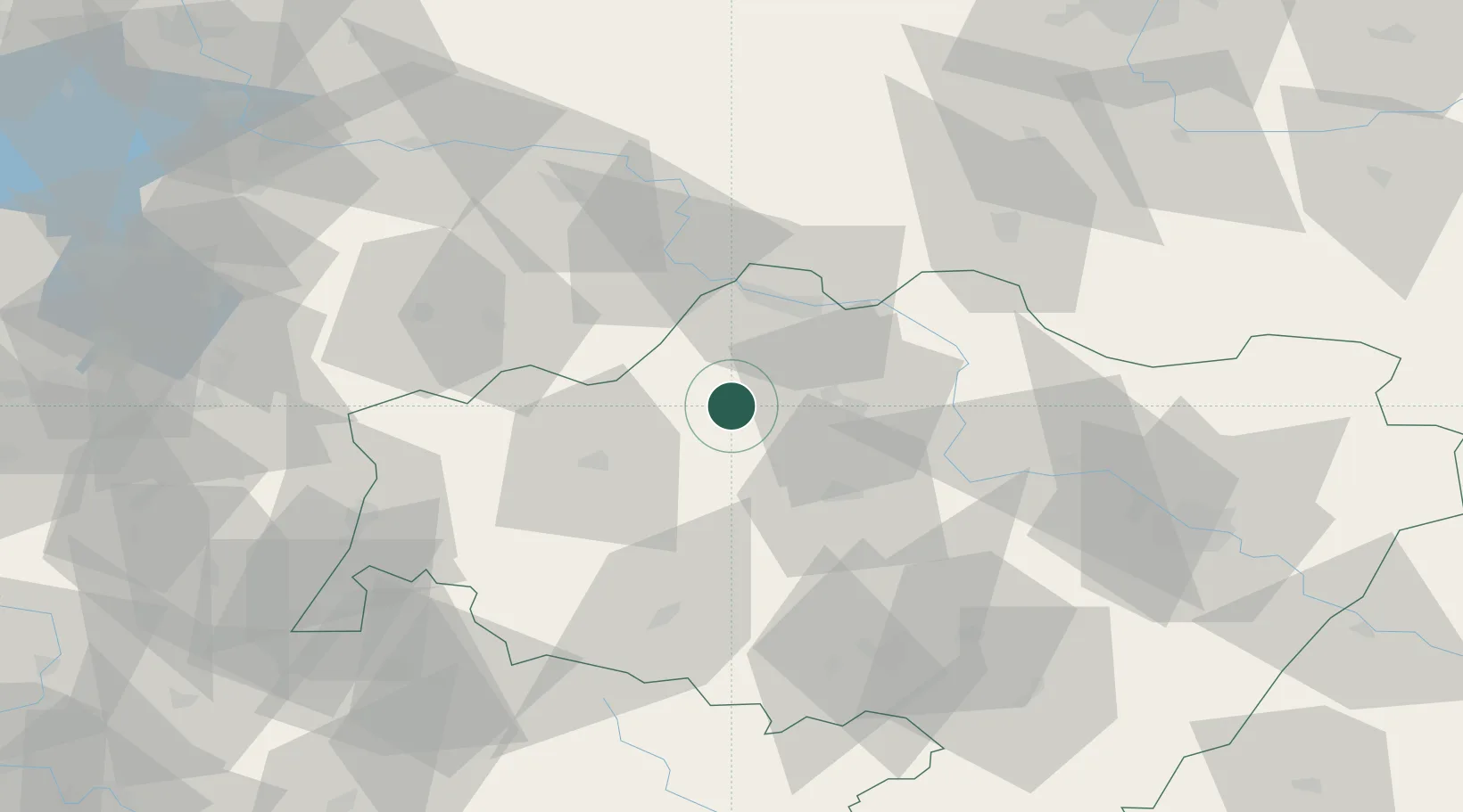
Place type
Populated place
Region
Lower Silesia
Population
8,187
Time zone
Europe/Warsaw
Elevation
148 m
Location
Nearby Logistics Neighbours
Cities
- 1Gromadka12 km
- 2Chojnów17 km
- 3Raciborowice Górne28 km
- 4Zukowice28 km
- 5Boleslawiec29 km
Ports
- 1Szczecin241 km
- 2Police256 km
- 3Swinoujscie299 km
- 4Kolobrzeg312 km
- 5Wolgast326 km
Airports
Trade Zones
DatabookThe Record of Consolidated Knowledge
Poland beyond logistics?