Transport Functions
Rail
Road
Hub Profile
Place type
District seat
Region
Lower Silesia
Population
14,209
Time zone
Europe/Warsaw
Elevation
153 m
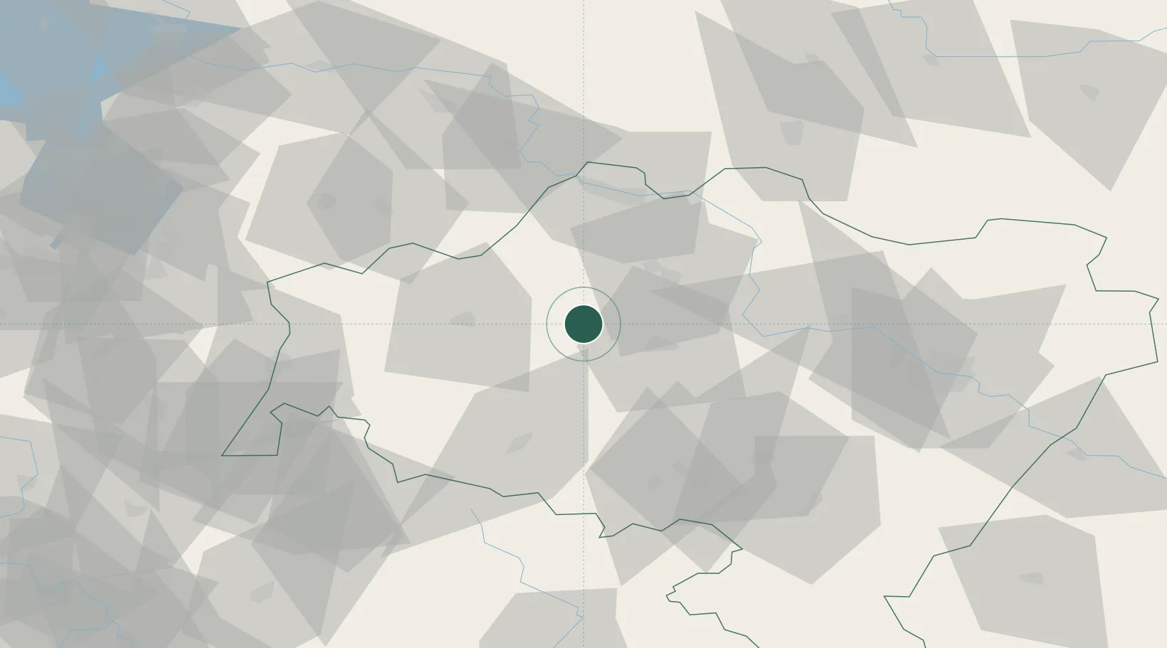
Location
Nearby Logistics Neighbours
Cities
- 1Zlotoryja17 km
- 2Chocianów17 km
- 3Gromadka17 km
- 4Raciborowice Górne18 km
- 5Boleslawiec26 km
Ports
- 1Szczecin257 km
- 2Police272 km
- 3Swinoujscie315 km
- 4Kolobrzeg329 km
- 5Wolgast342 km
Airports
- 1Copernicus Wrocław Airport69 km
- 2Rothenburg/Görlitz Airfield69 km
- 3Zielona Góra-Babimost Airport97 km
- 4Kostomlaty Airstrip137 km
- 5Krzesiny Military Air Base138 km
Trade Zones
DatabookThe Record of Consolidated Knowledge
Poland beyond logistics?