Transport Functions
Rail
Road
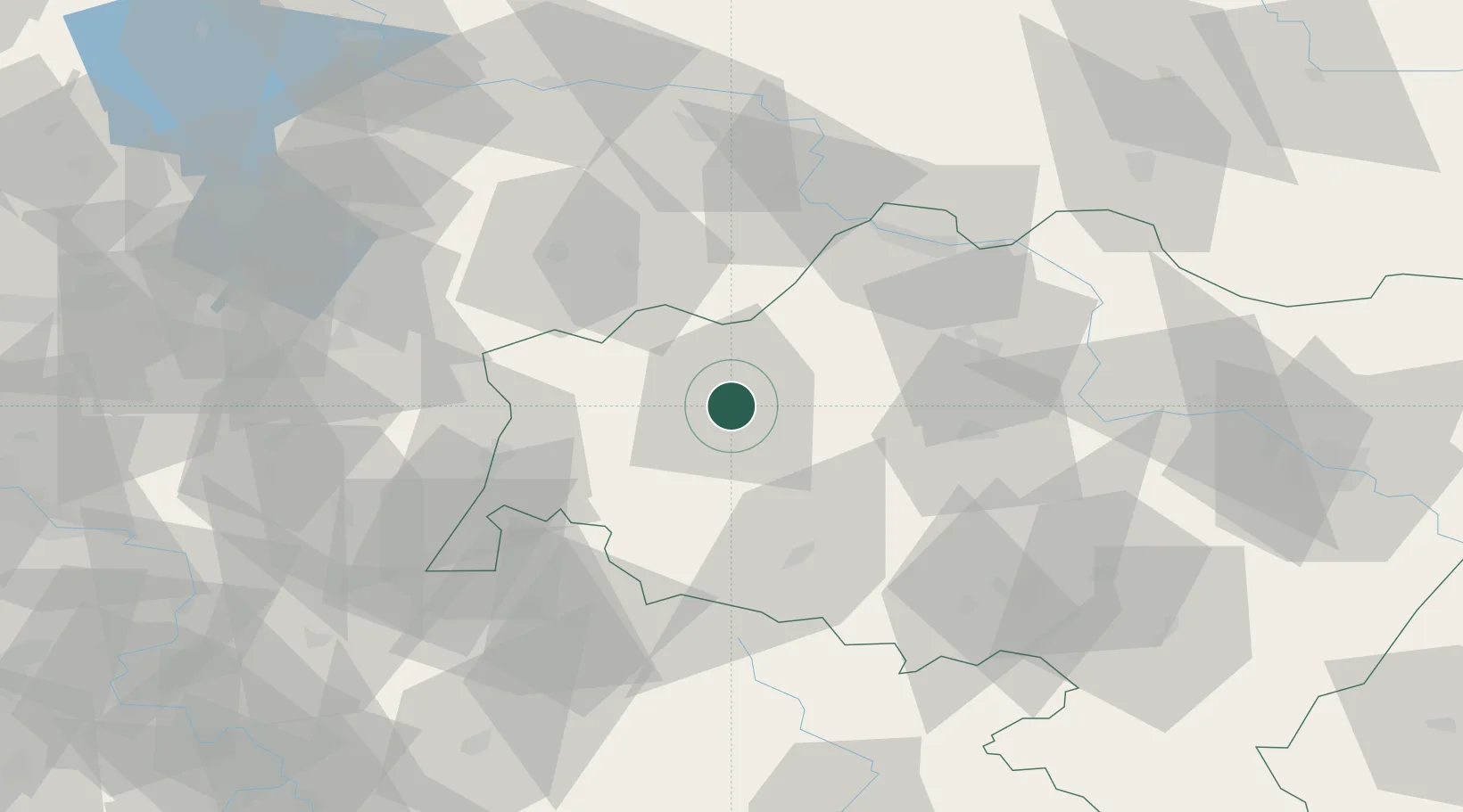
Hub Profile
Place type
District seat
Region
Lower Silesia
Population
40,682
Time zone
Europe/Warsaw
Elevation
197 m
Location
Nearby Logistics Neighbours
Cities
- 1Raciborowice Górne12 km
- 2Nowogrodziec14 km
- 3Gromadka17 km
- 4Chojnów26 km
- 5Chocianów29 km
Ports
- 1Szczecin249 km
- 2Police265 km
- 3Swinoujscie308 km
- 4Kolobrzeg328 km
- 5Wolgast332 km
Airports
- 1Rothenburg/Görlitz Airfield44 km
- 2Copernicus Wrocław Airport94 km
- 3Zielona Góra-Babimost Airport98 km
- 4Kostomlaty Airstrip126 km
- 5Dresden Airport126 km
Trade Zones
DatabookThe Record of Consolidated Knowledge
Poland beyond logistics?