Transport Functions
Rail
Road
Hub Profile
Place type
Provincial seat
Region
Łódź Voivodeship
Population
58,036
Time zone
Europe/Warsaw
Elevation
187 m
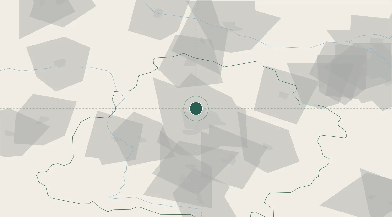
Location
Nearby Logistics Neighbours
Cities
- 1Glinnik7 km
- 2Aleksandrów Lodzki9 km
- 3Ozorków14 km
- 4Stryków14 km
- 5Lutomiersk19 km
Ports
- 1Gdansk280 km
- 2Nowy Port288 km
- 3Gdynia302 km
- 4Baltiysk309 km
- 5Kaliningrad323 km
Airports
- 1Łódź Władysław Reymont Airport16 km
- 2Leźnica Wielka Air Base23 km
- 3Łask Air Base38 km
- 4Tomaszów Mazowiecki Military Air Base57 km
- 5Warsaw Modlin Airport107 km
Trade Zones
DatabookThe Record of Consolidated Knowledge
Poland beyond logistics?