Transport Functions
Rail
Road
Hub Profile
Place type
District seat
Region
Łódź Voivodeship
Population
3,297
Time zone
Europe/Warsaw
Elevation
160 m
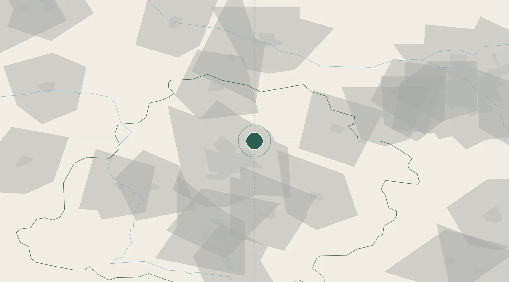
Location
Nearby Logistics Neighbours
Cities
- 1Glinnik7 km
- 2Zgierz14 km
- 3Aleksandrów Lodzki23 km
- 4Ozorków23 km
- 5Pszczonów25 km
Ports
- 1Gdansk279 km
- 2Nowy Port287 km
- 3Gdynia301 km
- 4Baltiysk305 km
- 5Kaliningrad317 km
Airports
Trade Zones
DatabookThe Record of Consolidated Knowledge
Poland beyond logistics?