Transport Functions
Road
Multimodal
Hub Profile
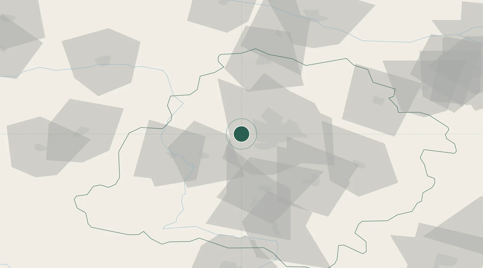
Place type
District seat
Region
Łódź Voivodeship
Population
1,500
Time zone
Europe/Warsaw
Elevation
161 m
Location
Nearby Logistics Neighbours
Cities
- 1Aleksandrów Lodzki10 km
- 2Pabianice14 km
- 3Ksawerów17 km
- 4Szadek17 km
- 5Wola Zaradzynska19 km
Ports
- 1Gdansk291 km
- 2Nowy Port299 km
- 3Gdynia313 km
- 4Baltiysk324 km
- 5Kaliningrad339 km
Airports
Trade Zones
DatabookThe Record of Consolidated Knowledge
Poland beyond logistics?