UN/LOCODE hub · Poland
PLAWL
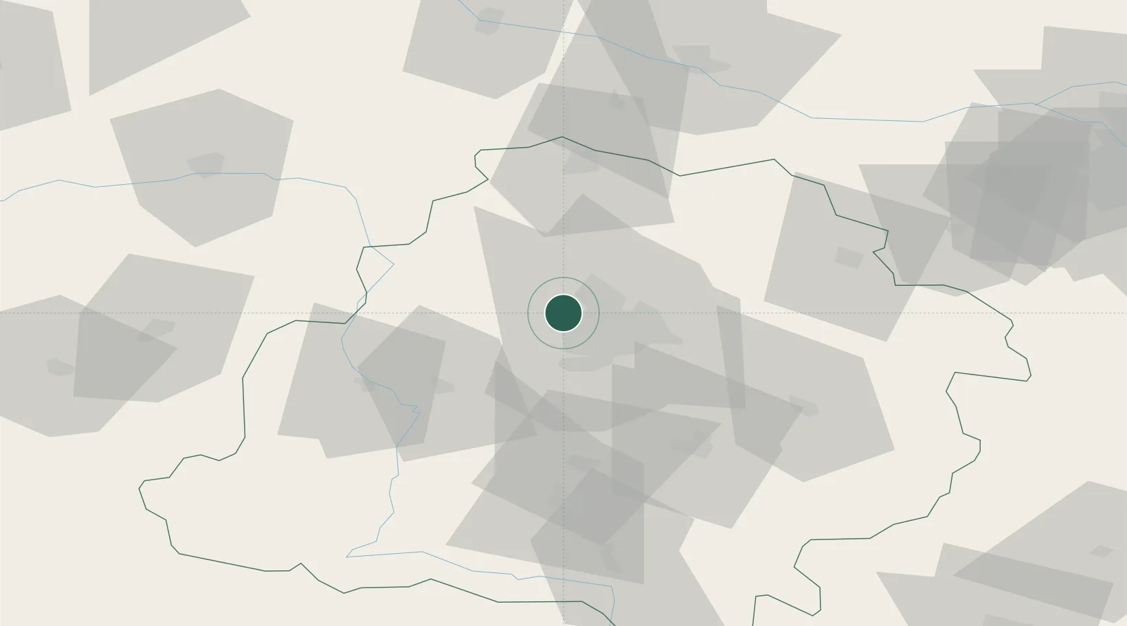
Aleksandrów Lodzki
51.8167°, 19.3000°
20,292
Population
2
Transport functions
Transport Functions
Road
Multimodal
Hub Profile
Place type
District seat
Region
Łódź Voivodeship
Population
20,292
Time zone
Europe/Warsaw
Elevation
195 m
Location
Nearby Logistics Neighbours
Cities
- 1Zgierz9 km
- 2Lutomiersk10 km
- 3Glinnik16 km
- 4Ozorków17 km
- 5Ksawerów17 km
Ports
- 1Gdansk285 km
- 2Nowy Port292 km
- 3Gdynia306 km
- 4Baltiysk316 km
- 5Kaliningrad330 km
Airports
- 1Łódź Władysław Reymont Airport13 km
- 2Leźnica Wielka Air Base24 km
- 3Łask Air Base31 km
- 4Tomaszów Mazowiecki Military Air Base61 km
- 5Warsaw Modlin Airport116 km
Trade Zones
DatabookThe Record of Consolidated Knowledge
Poland beyond logistics?