Transport Functions
Multimodal
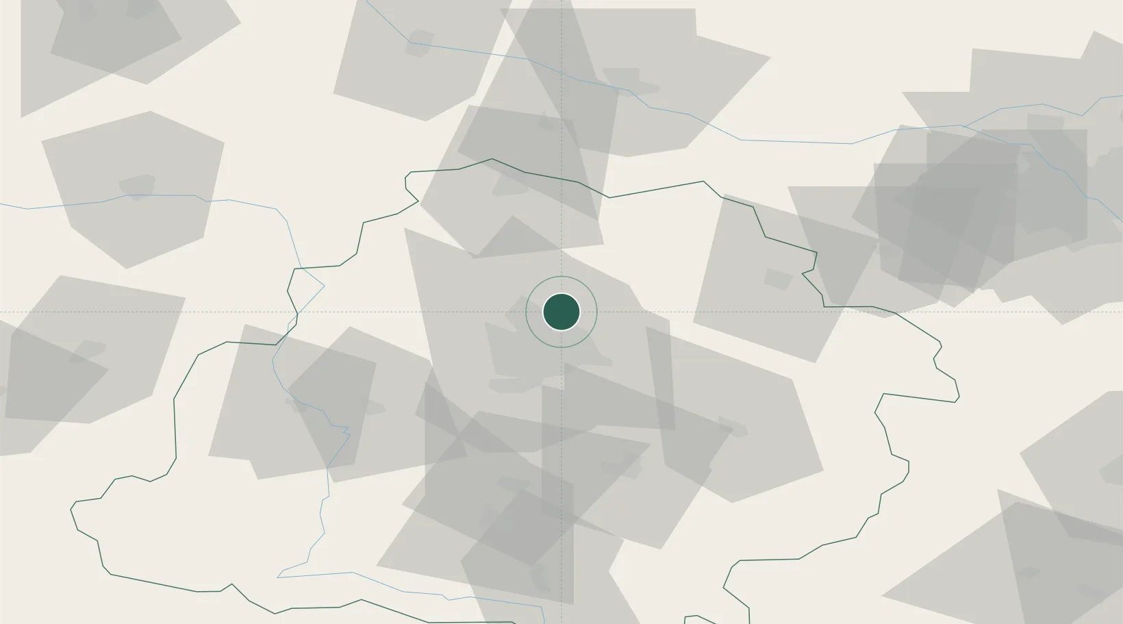
Hub Profile
Place type
Populated place
Region
Łódź Voivodeship
Time zone
Europe/Warsaw
Elevation
174 m
Location
Nearby Logistics Neighbours
Cities
- 1Stryków7 km
- 2Zgierz7 km
- 3Aleksandrów Lodzki16 km
- 4Ozorków18 km
- 5Ksawerów23 km
Ports
- 1Gdansk280 km
- 2Nowy Port287 km
- 3Gdynia301 km
- 4Baltiysk307 km
- 5Kaliningrad320 km
Airports
- 1Łódź Władysław Reymont Airport19 km
- 2Leźnica Wielka Air Base28 km
- 3Łask Air Base43 km
- 4Tomaszów Mazowiecki Military Air Base53 km
- 5Warsaw Modlin Airport101 km
Trade Zones
DatabookThe Record of Consolidated Knowledge
Poland beyond logistics?