Transport Functions
Rail
Road
Hub Profile
Place type
District seat
Region
Łódź Voivodeship
Population
20,608
Time zone
Europe/Warsaw
Elevation
124 m
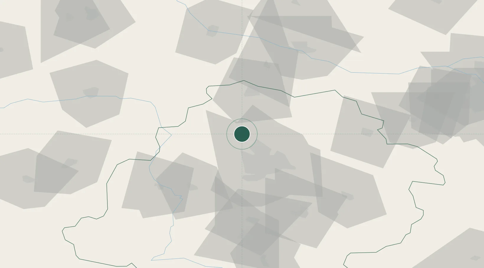
Location
Nearby Logistics Neighbours
Cities
- 1Zgierz14 km
- 2Aleksandrów Lodzki17 km
- 3Glinnik18 km
- 4Stryków23 km
- 5Lutomiersk25 km
Ports
- 1Gdansk268 km
- 2Nowy Port276 km
- 3Gdynia290 km
- 4Baltiysk299 km
- 5Kaliningrad314 km
Airports
- 1Leźnica Wielka Air Base11 km
- 2Łódź Władysław Reymont Airport28 km
- 3Łask Air Base47 km
- 4Tomaszów Mazowiecki Military Air Base70 km
- 5Warsaw Modlin Airport108 km
Trade Zones
DatabookThe Record of Consolidated Knowledge
Poland beyond logistics?