Transport Functions
Port
Road
Hub Profile
Place type
Populated place
Region
Lower Silesia
Time zone
Europe/Warsaw
Elevation
157 m
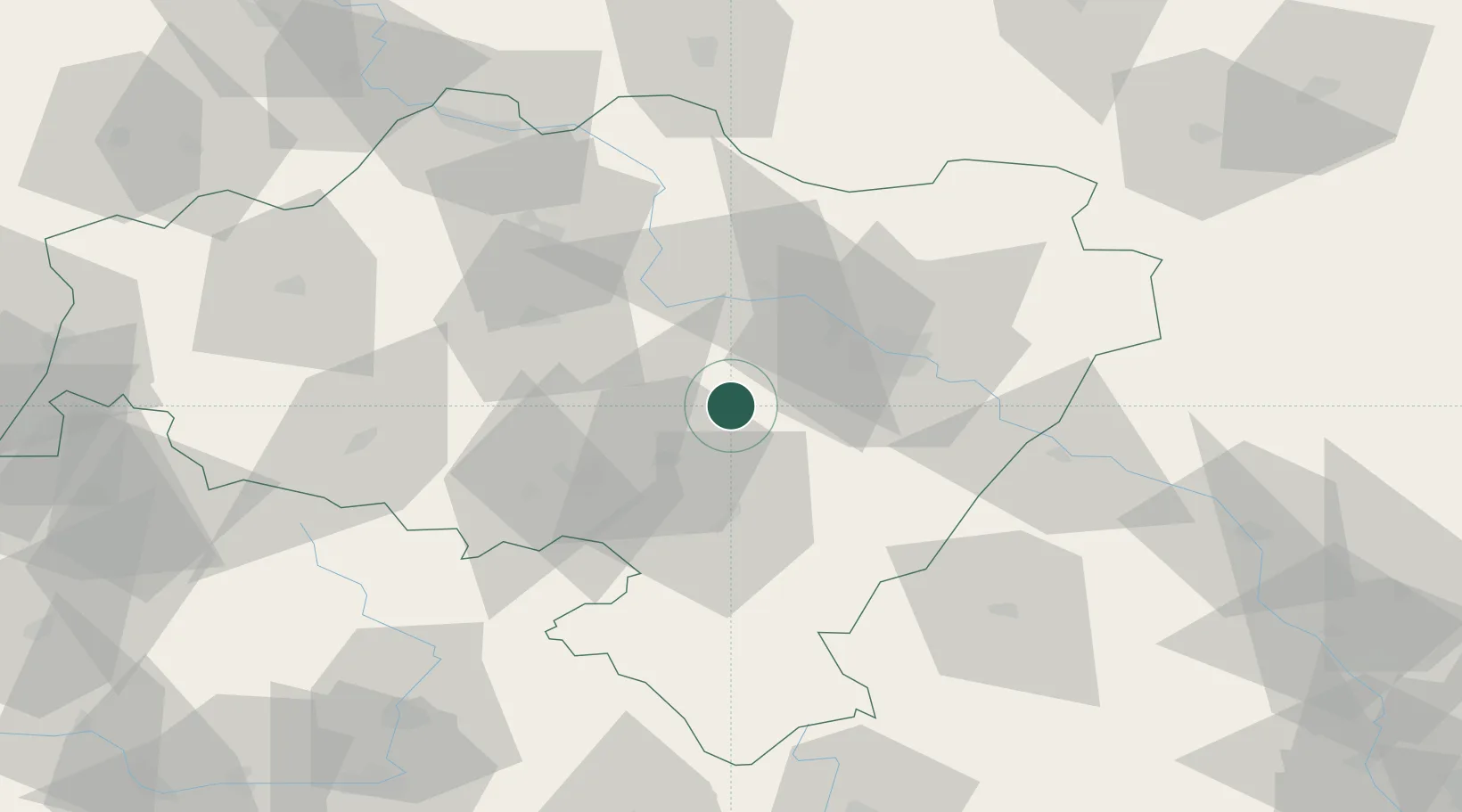
Location
Nearby Logistics Neighbours
Cities
- 1Kostomloty8 km
- 2Zarów12 km
- 3Pszenno15 km
- 4Jaworzyna Slaska15 km
- 5Kobierzyce20 km
Ports
- 1Szczecin306 km
- 2Police320 km
- 3Swinoujscie364 km
- 4Kolobrzeg367 km
- 5Darlowo384 km
Airports
- 1Copernicus Wrocław Airport21 km
- 2Pardubice Airport125 km
- 3Rothenburg/Görlitz Airfield126 km
- 4Zielona Góra-Babimost Airport141 km
- 5Čáslav Air Base147 km
Trade Zones
DatabookThe Record of Consolidated Knowledge
Poland beyond logistics?