Transport Functions
Port
Road
Hub Profile
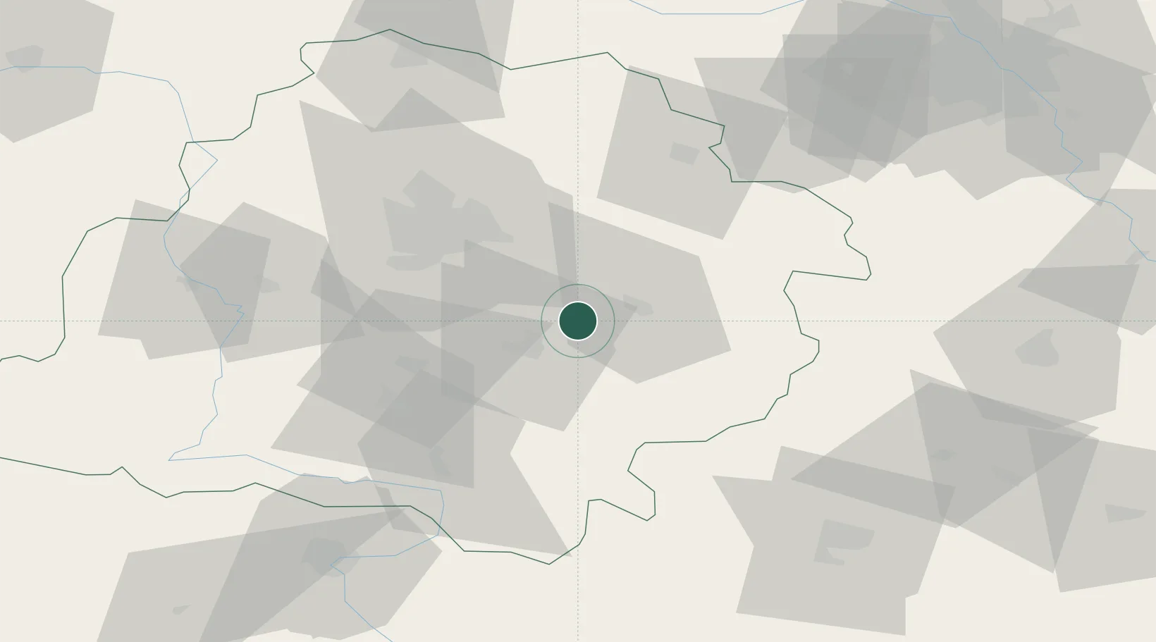
Place type
District seat
Region
Łódź Voivodeship
Population
2,594
Time zone
Europe/Warsaw
Elevation
171 m
Location
Nearby Logistics Neighbours
Cities
- 1Piotrków Trybunalski15 km
- 2Sulejów15 km
- 3Kruszow21 km
- 4Wola Krzysztoporska24 km
- 5Wola Zaradzynska33 km
Ports
- 1Gdansk326 km
- 2Nowy Port334 km
- 3Gdynia348 km
- 4Baltiysk348 km
- 5Kaliningrad359 km
Airports
Trade Zones
DatabookThe Record of Consolidated Knowledge
Poland beyond logistics?