UN/LOCODE hub · Poland
PLOXL
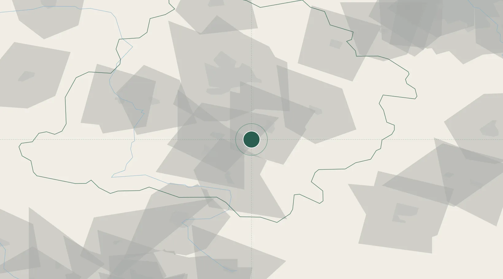
Wola Krzysztoporska
51.3500°, 19.5833°
2,100
Population
1
Transport functions
Transport Functions
Multimodal
Hub Profile
Place type
District seat
Region
Łódź Voivodeship
Population
2,100
Time zone
Europe/Warsaw
Elevation
204 m
Location
Nearby Logistics Neighbours
Cities
- 1Piotrków Trybunalski9 km
- 2Sulejów21 km
- 3Wolbórz24 km
- 4Kruszow26 km
- 5Stanislawow Pierwszy32 km
Ports
- 1Gdansk339 km
- 2Nowy Port347 km
- 3Gdynia361 km
- 4Baltiysk366 km
- 5Kaliningrad377 km
Airports
Trade Zones
DatabookThe Record of Consolidated Knowledge
Poland beyond logistics?