UN/LOCODE hub · Poland
PLPIT

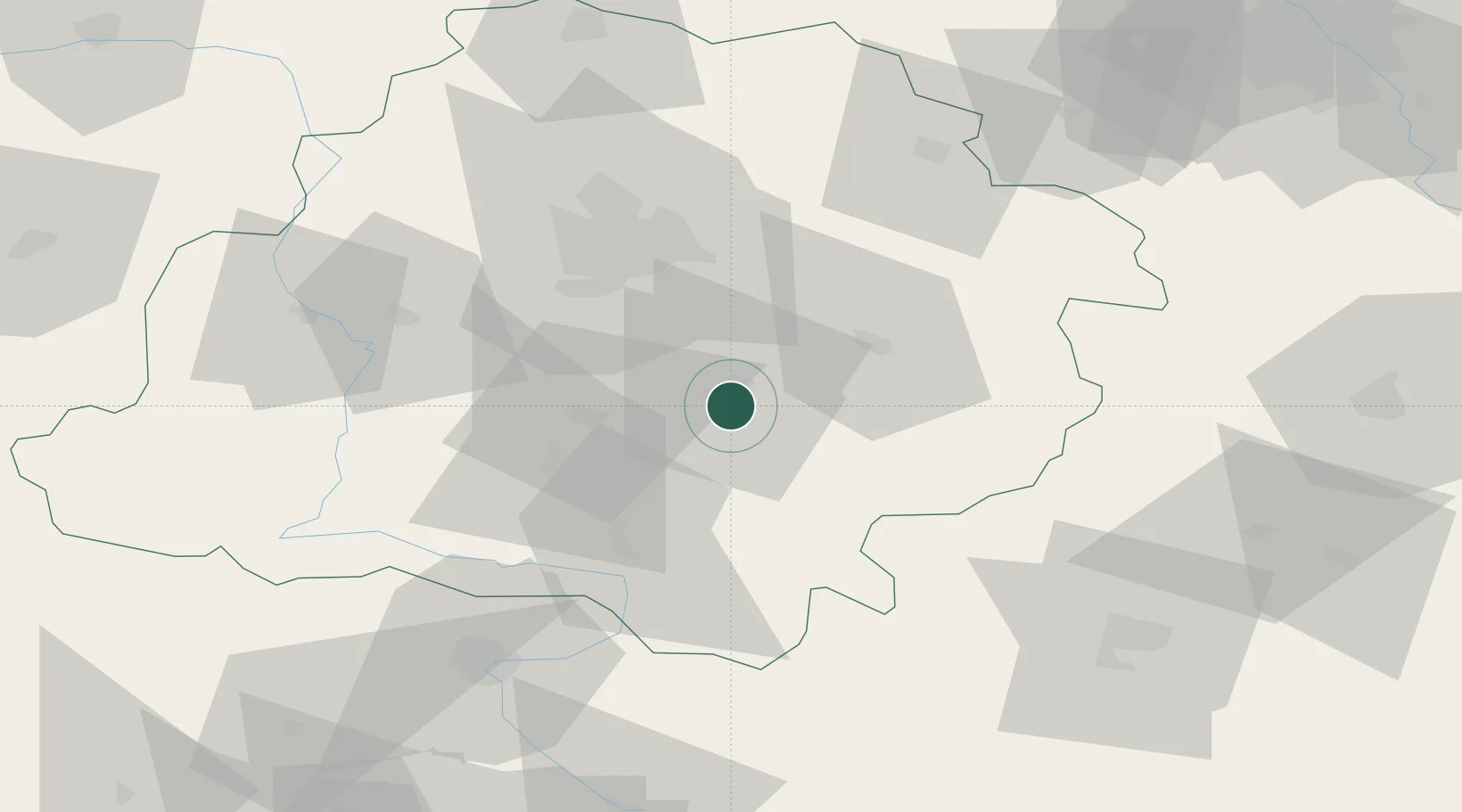
Piotrków Trybunalski

51.4000°, 19.6833°
80,128
Population
3
Transport functions

Transport Functions

Rail
Road
Airport
UN/LOCODE

Hub Profile

Place type
Provincial seat
GeoNames
Region
Łódź Voivodeship
GeoNames
Population
80,128
GeoNames
Time zone
Europe/Warsaw
GeoNames
Elevation
194 m
GeoNames

Location

Location of PLPIT
Natural Earth 10m (public domain) · Łódź Voivodeship · PLPIT · 51.40, 19.68GoogleOSMYandex

Nearby Logistics Neighbours

Cities
  1. 1Wola Krzysztoporska9 km
  2. 2Sulejów14 km
  3. 3Wolbórz15 km
  4. 4Kruszow22 km
  5. 5Wola Zaradzynska34 km
Nearest neighbours — logibook spatial index (haversine) over the source coordinates
Ports
  1. 1Gdansk335 km
  2. 2Nowy Port342 km
  3. 3Gdynia357 km
  4. 4Baltiysk360 km
  5. 5Kaliningrad371 km
Nearest neighbours — logibook spatial index (haversine) over the source coordinates
Airports
  1. 1Tomaszów Mazowiecki Military Air Base35 km
  2. 2Łask Air Base39 km
  3. 3Łódź Władysław Reymont Airport41 km
  4. 4Leźnica Wielka Air Base77 km
  5. 5Warsaw Radom Airport106 km
Nearest neighbours — logibook spatial index (haversine) over the source coordinates
Trade Zones
  1. 1Łódź SEZ (ōódzka SSE)42 km
  2. 2East-West Duty Free Zone86 km
  3. 3Starachowice SEZ (SSE Starachowice)105 km
  4. 4Warsaw Airport Duty Free Zone123 km
  5. 5Silesian Center for Logistics140 km
Nearest neighbours — logibook spatial index (haversine) over the source coordinates
DatabookThe Record of Consolidated Knowledge
Poland beyond logistics?
Browse databook

All Sources

LocationsUN/LOCODE
UN/LOCODE — free
LocationsGeoNames
CC BY 4.0
Portsthe NGA World Port Index
Public domain (US gov)
AirportsOurAirports
Public domain
Trade Zonesthe World Bank SEZ database
CC BY 4.0
Trade ZonesOpen Zone Map
CC BY
← Poland locations