Transport Functions
Rail
Road
Hub Profile
Place type
Populated place
Region
Łódź Voivodeship
Time zone
Europe/Warsaw
Elevation
192 m
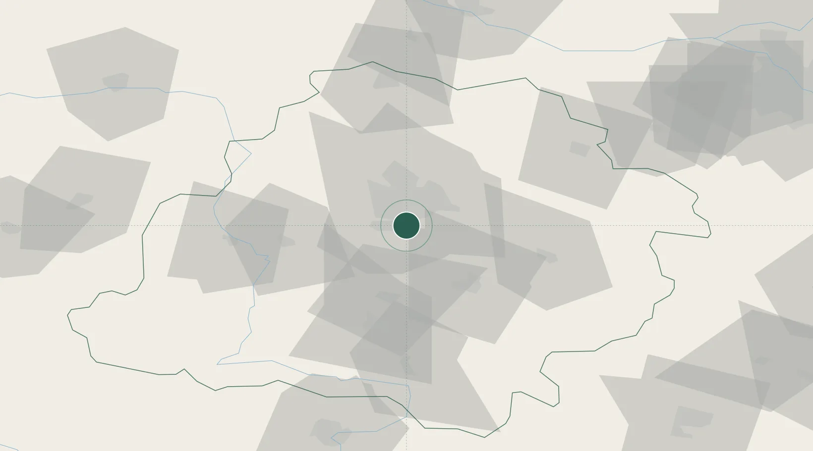
Location
Nearby Logistics Neighbours
Cities
- 1Ksawerów2 km
- 2Pabianice6 km
- 3Kruszow13 km
- 4Lutomiersk19 km
- 5Aleksandrów Lodzki19 km
Ports
- 1Gdansk303 km
- 2Nowy Port310 km
- 3Gdynia324 km
- 4Baltiysk331 km
- 5Kaliningrad345 km
Airports
Trade Zones
DatabookThe Record of Consolidated Knowledge
Poland beyond logistics?