Transport Functions
Multimodal
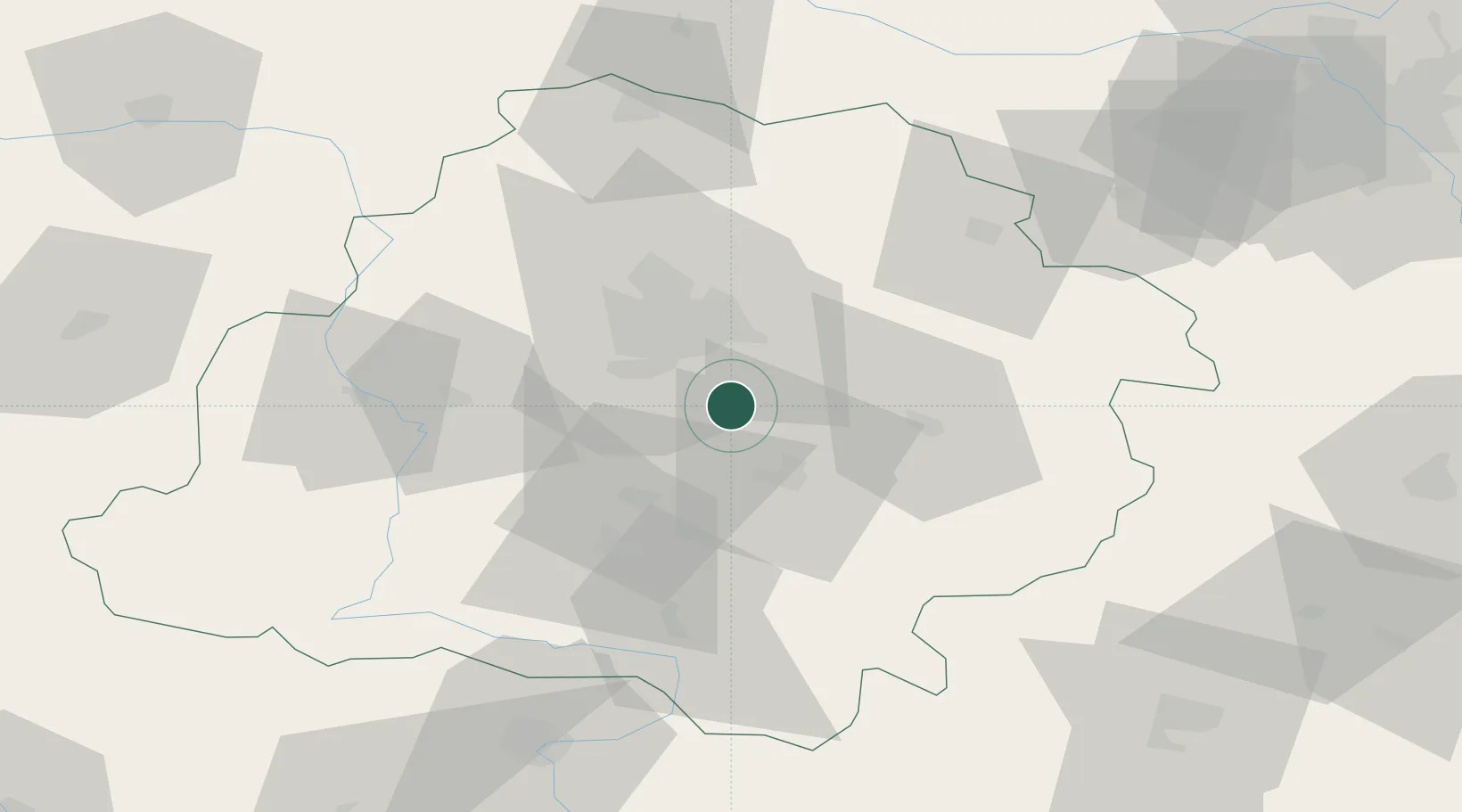
Hub Profile
Place type
Populated place
Region
Łódź Voivodeship
Time zone
Europe/Warsaw
Elevation
214 m
Location
Nearby Logistics Neighbours
Cities
- 1Wola Zaradzynska13 km
- 2Ksawerów15 km
- 3Pabianice18 km
- 4Wolbórz21 km
- 5Piotrków Trybunalski22 km
Ports
- 1Gdansk314 km
- 2Nowy Port321 km
- 3Gdynia335 km
- 4Baltiysk340 km
- 5Kaliningrad352 km
Airports
- 1Łódź Władysław Reymont Airport19 km
- 2Łask Air Base27 km
- 3Tomaszów Mazowiecki Military Air Base37 km
- 4Leźnica Wielka Air Base55 km
- 5Warsaw Chopin Airport116 km
Trade Zones
DatabookThe Record of Consolidated Knowledge
Poland beyond logistics?