UN/LOCODE hub · Poland
PLUMS
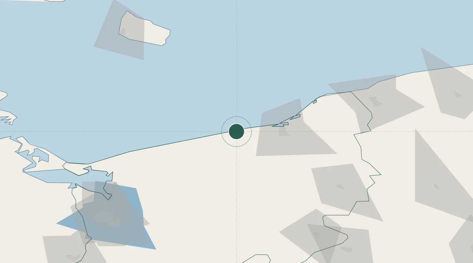
Ustronie Morskie
54.2167°, 15.7500°
2,081
Population
2
Transport functions
Transport Functions
Port
Road
Hub Profile
Place type
Populated place
Region
West Pomerania
Population
2,081
Time zone
Europe/Warsaw
Elevation
7 m
Location
Nearby Logistics Neighbours
Ports
- 1Kolobrzeg13 km
- 2Darlowo50 km
- 3Ustka82 km
- 4Swinoujscie102 km
- 5Nekso103 km
Airports
- 1Swidwin Military Air Base48 km
- 2Solidarity Szczecin–Goleniów Airport90 km
- 3Miroslawiec Military Air Base94 km
- 4Heringsdorf Airport111 km
- 5Bornholm Airport114 km
Trade Zones
- 1Słupsk SEZ (Słupska SSE)87 km
- 2Swinoujscie Duty Free Zone103 km
- 3Szczecin Duty Free Zone118 km
- 4Pomeranian SEZ (Pomorska SSE)156 km
- 5Gdansk Port Duty Free Zone190 km
DatabookThe Record of Consolidated Knowledge
Poland beyond logistics?