Transport Functions
Port
Road
Hub Profile
Place type
Populated place
Region
West Pomerania
Time zone
Europe/Warsaw
Elevation
31 m
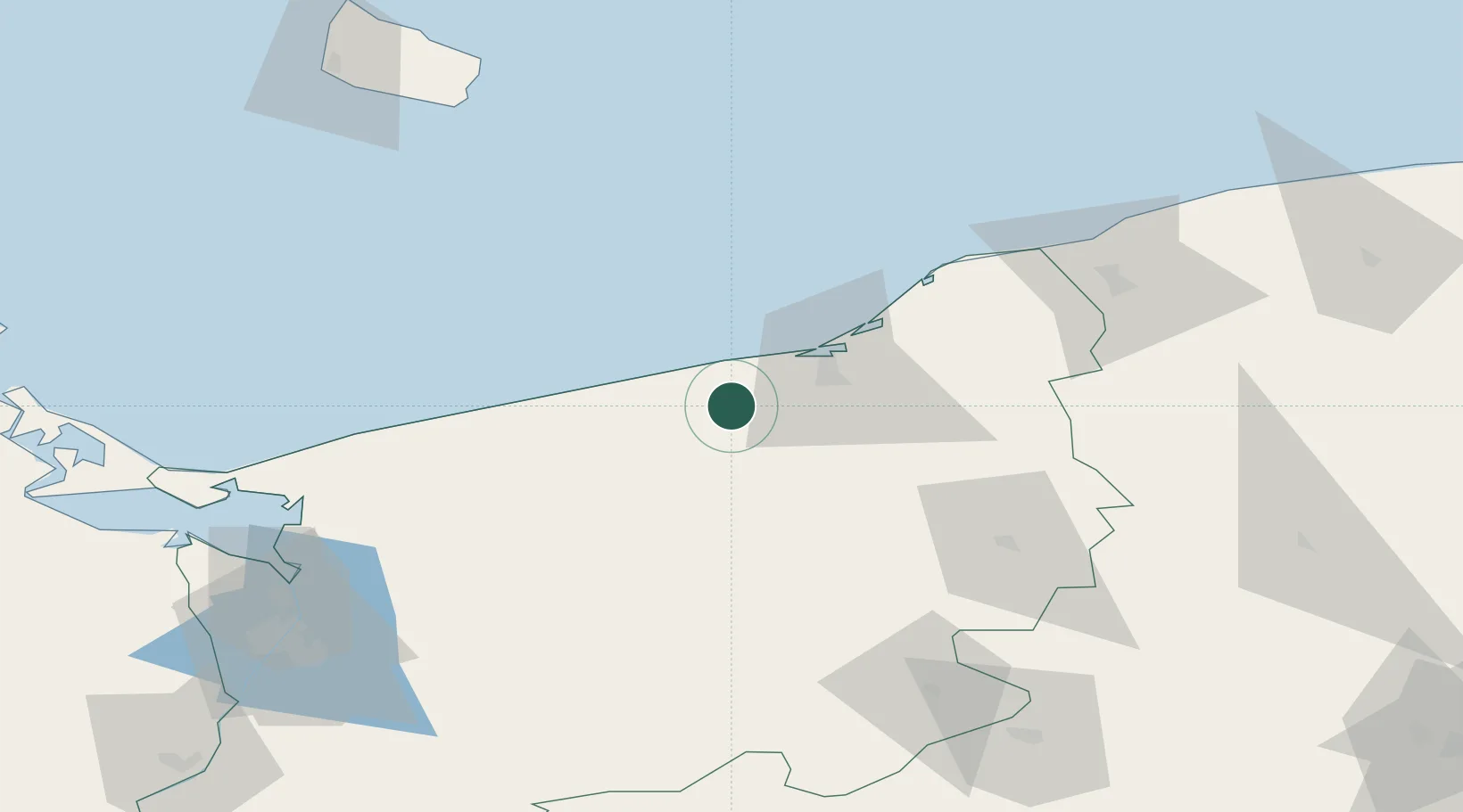
Location
Nearby Logistics Neighbours
Cities
- 1Kukinia9 km
- 2Karlino11 km
- 3Bialogard13 km
- 4Ustronie Morskie14 km
- 5Kolobrzeg21 km
Ports
- 1Kolobrzeg24 km
- 2Darlowo49 km
- 3Ustka81 km
- 4Police106 km
- 5Swinoujscie108 km
Airports
Trade Zones
- 1Słupsk SEZ (Słupska SSE)84 km
- 2Swinoujscie Duty Free Zone108 km
- 3Szczecin Duty Free Zone116 km
- 4Pomeranian SEZ (Pomorska SSE)149 km
- 5Gdansk Port Duty Free Zone183 km
DatabookThe Record of Consolidated Knowledge
Poland beyond logistics?