Transport Functions
Rail
Road
Hub Profile
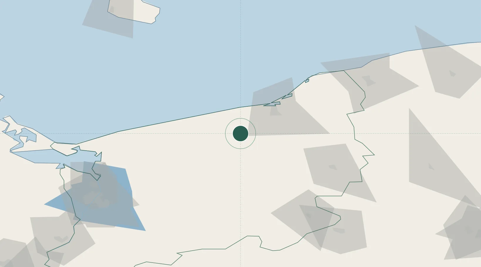
Place type
Populated place
Region
West Pomerania
Population
5,832
Time zone
Europe/Warsaw
Elevation
17 m
Location
Nearby Logistics Neighbours
Cities
- 1Bialogard8 km
- 2Mierzyn11 km
- 3Kukinia18 km
- 4Ustronie Morskie24 km
- 5Kolobrzeg26 km
Ports
- 1Kolobrzeg30 km
- 2Darlowo59 km
- 3Ustka90 km
- 4Police99 km
- 5Swinoujscie105 km
Airports
Trade Zones
- 1Słupsk SEZ (Słupska SSE)90 km
- 2Swinoujscie Duty Free Zone105 km
- 3Szczecin Duty Free Zone108 km
- 4Pomeranian SEZ (Pomorska SSE)152 km
- 5Kostrzyń-Słubice SEZ178 km
DatabookThe Record of Consolidated Knowledge
Poland beyond logistics?