Transport Functions
Rail
Road
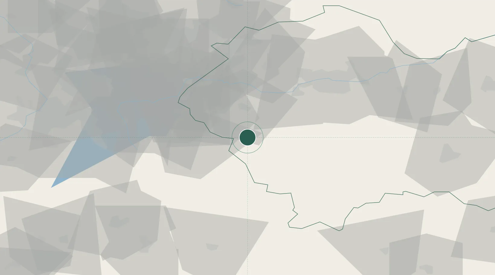
Hub Profile
Place type
District seat
Region
Lesser Poland
Population
5,266
Time zone
Europe/Warsaw
Elevation
435 m
Location
Nearby Logistics Neighbours
Cities
- 1Sucha Beskidzka7 km
- 2Maków Podhalanski12 km
- 3Wadowice19 km
- 4Kalwaria Zebrzydowska21 km
- 5Jordanów24 km
Airports
Trade Zones
DatabookThe Record of Consolidated Knowledge
Poland beyond logistics?