Transport Functions
Rail
Road
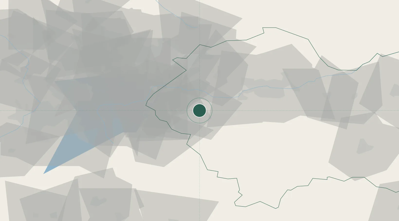
Hub Profile
Place type
Provincial seat
Region
Lesser Poland
Population
19,238
Time zone
Europe/Warsaw
Elevation
271 m
Location
Nearby Logistics Neighbours
Cities
- 1Zator12 km
- 2Kalwaria Zebrzydowska13 km
- 3Sucha Beskidzka17 km
- 4Oklesna17 km
- 5Stryszawa19 km
Airports
Trade Zones
DatabookThe Record of Consolidated Knowledge
Poland beyond logistics?