UN/LOCODE hub · Poland
PLKZD

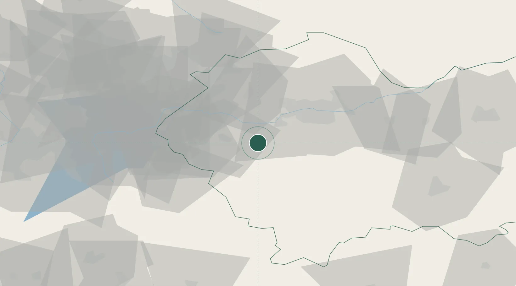
Kalwaria Zebrzydowska

49.8667°, 19.6833°
4,429
Population
2
Transport functions

Transport Functions

Rail
Road
UN/LOCODE

Hub Profile

Place type
District seat
GeoNames
Region
Lesser Poland
GeoNames
Population
4,429
GeoNames
Time zone
Europe/Warsaw
GeoNames
Elevation
327 m
GeoNames

Location

Location of PLKZD
Natural Earth 10m (public domain) · Lesser Poland · PLKZD · 49.87, 19.68GoogleOSMYandex

Nearby Logistics Neighbours

Cities
  1. 1Borek Szlachecki13 km
  2. 2Wadowice13 km
  3. 3Sucha Beskidzka14 km
  4. 4Jawornik15 km
  5. 5Maków Podhalanski15 km
Nearest neighbours — logibook spatial index (haversine) over the source coordinates
Ports
  1. 1Gdansk503 km
  2. 2Nowy Port511 km
  3. 3Gdynia525 km
  4. 4Szczecin530 km
  5. 5Baltiysk530 km
Nearest neighbours — logibook spatial index (haversine) over the source coordinates
Airports
  1. 1Kraków John Paul II International Airport25 km
  2. 2Katowice Wojciech Korfanty International Airport80 km
  3. 3Poprad-Tatry Airport97 km
  4. 4Žilina-Dolný Hričov Airport105 km
  5. 5Leoš Janáček Airport Ostrava115 km
Nearest neighbours — logibook spatial index (haversine) over the source coordinates
Trade Zones
  1. 1Kraków Technology Park23 km
  2. 2Katowice SEZ (Katowicka SSE)70 km
  3. 3Karvinská Specialized Economic Zone84 km
  4. 4Silesian Center for Logistics91 km
  5. 5Mošnov Development Area115 km
Nearest neighbours — logibook spatial index (haversine) over the source coordinates
DatabookThe Record of Consolidated Knowledge
Poland beyond logistics?
Browse databook

All Sources

LocationsUN/LOCODE
UN/LOCODE — free
LocationsGeoNames
CC BY 4.0
Portsthe NGA World Port Index
Public domain (US gov)
AirportsOurAirports
Public domain
Trade Zonesthe World Bank SEZ database
CC BY 4.0
Trade ZonesOpen Zone Map
CC BY
← Poland locations