Transport Functions
Rail
Road
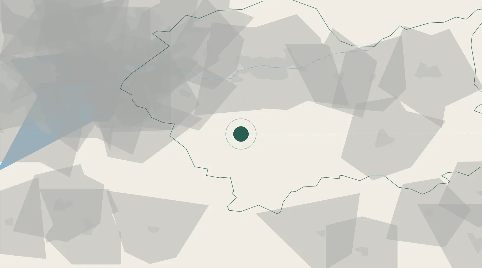
Hub Profile
Place type
District seat
Region
Lesser Poland
Population
5,194
Time zone
Europe/Warsaw
Elevation
497 m
Location
Nearby Logistics Neighbours
Cities
- 1Maków Podhalanski14 km
- 2Sucha Beskidzka20 km
- 3Myslenice22 km
- 4Jawornik23 km
- 5Nowy Targ24 km
Airports
Trade Zones
DatabookThe Record of Consolidated Knowledge
Poland beyond logistics?