Transport Functions
Rail
Road
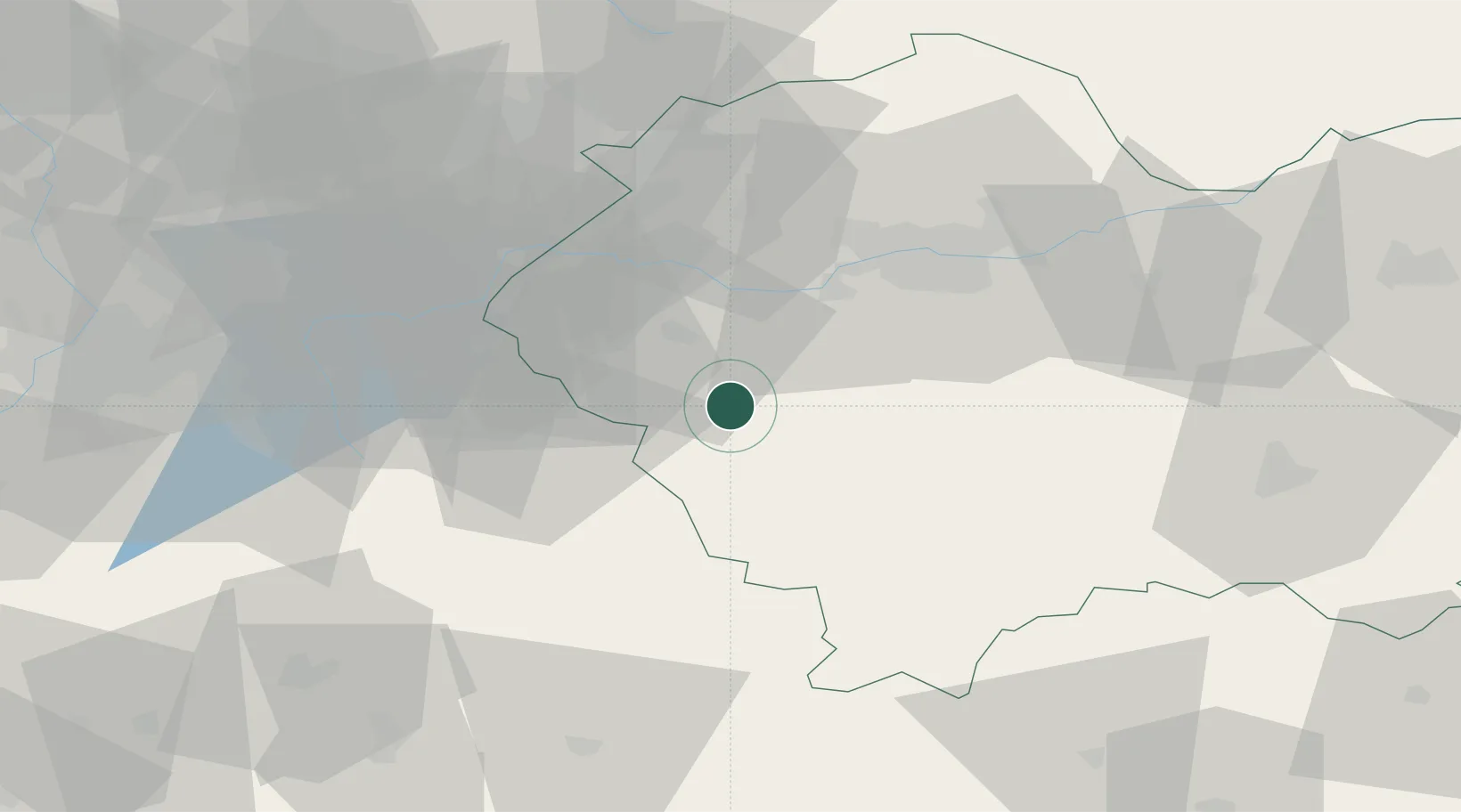
Hub Profile
Place type
Provincial seat
Region
Lesser Poland
Population
9,801
Time zone
Europe/Warsaw
Elevation
338 m
Location
Nearby Logistics Neighbours
Cities
- 1Maków Podhalanski6 km
- 2Stryszawa7 km
- 3Kalwaria Zebrzydowska14 km
- 4Wadowice17 km
- 5Jordanów20 km
Airports
Trade Zones
DatabookThe Record of Consolidated Knowledge
Poland beyond logistics?