UN/LOCODE hub · Poland
PLMPM
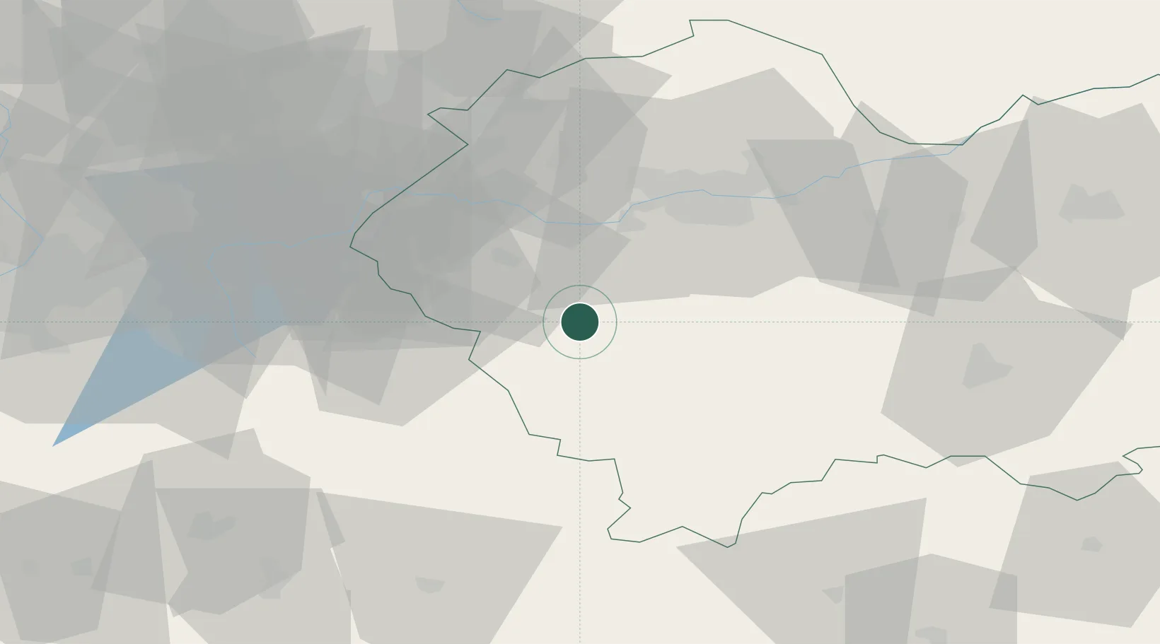
Maków Podhalanski
49.7333°, 19.6833°
5,746
Population
3
Transport functions
Transport Functions
Rail
Road
Multimodal
Hub Profile
Place type
District seat
Region
Lesser Poland
Population
5,746
Time zone
Europe/Warsaw
Elevation
361 m
Location
Nearby Logistics Neighbours
Cities
- 1Sucha Beskidzka6 km
- 2Stryszawa12 km
- 3Jordanów14 km
- 4Kalwaria Zebrzydowska15 km
- 5Jawornik19 km
Airports
Trade Zones
DatabookThe Record of Consolidated Knowledge
Poland beyond logistics?