Transport Functions
Rail
Road
Hub Profile
Place type
Provincial seat
Region
Silesia
Population
55,600
Time zone
Europe/Warsaw
Elevation
282 m
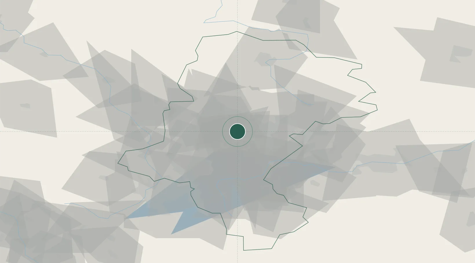
Location
Nearby Logistics Neighbours
Cities
- 1Siemianowice Slaskie9 km
- 2Kamionka9 km
- 3Czeladz14 km
- 4Radzionków15 km
- 5Tichy17 km
Airports
Trade Zones
DatabookThe Record of Consolidated Knowledge
Poland beyond logistics?