Transport Functions
Multimodal
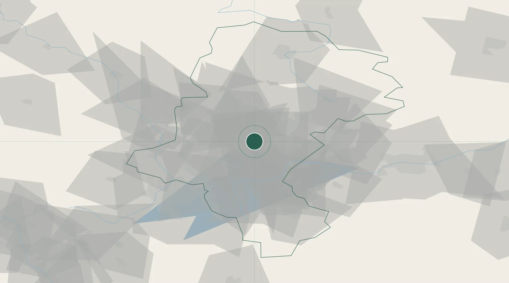
Hub Profile
Place type
Populated place
Region
Silesia
Time zone
Europe/Warsaw
Elevation
280 m
Location
Nearby Logistics Neighbours
Cities
- 1Tichy9 km
- 2Swietochlowice9 km
- 3Siemianowice Slaskie14 km
- 4Czerwionka17 km
- 5Bierun Stary17 km
Airports
Trade Zones
DatabookThe Record of Consolidated Knowledge
Poland beyond logistics?