Transport Functions
Road
Multimodal
Hub Profile
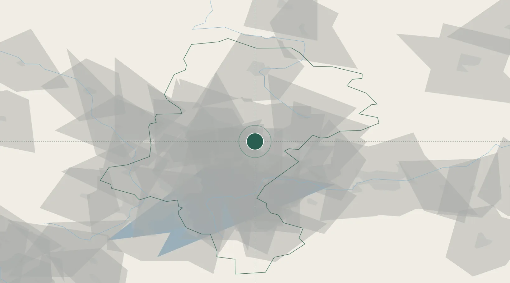
Place type
District seat
Region
Silesia
Population
34,308
Time zone
Europe/Warsaw
Elevation
277 m
Location
Nearby Logistics Neighbours
Cities
- 1Siemianowice Slaskie5 km
- 2Swietochlowice14 km
- 3Radzionków17 km
- 4Kamionka18 km
- 5Slawków22 km
Airports
Trade Zones
DatabookThe Record of Consolidated Knowledge
Poland beyond logistics?