UN/LOCODE hub · Poland
PLOYX

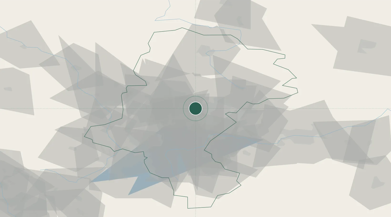
Siemianowice Slaskie

50.3000°, 19.0333°
73,121
Population
1
Transport functions

Transport Functions

Multimodal
UN/LOCODE

Hub Profile

Place type
Provincial seat
GeoNames
Region
Silesia
GeoNames
Population
73,121
GeoNames
Time zone
Europe/Warsaw
GeoNames
Elevation
270 m
GeoNames

Location

Location of PLOYX
Natural Earth 10m (public domain) · Silesia · PLOYX · 50.30, 19.03GoogleOSMYandex

Nearby Logistics Neighbours

Cities
  1. 1Czeladz5 km
  2. 2Swietochlowice9 km
  3. 3Kamionka14 km
  4. 4Radzionków15 km
  5. 5Tichy19 km
Nearest neighbours — logibook spatial index (haversine) over the source coordinates
Ports
  1. 1Gdansk451 km
  2. 2Nowy Port458 km
  3. 3Szczecin463 km
  4. 4Gdynia472 km
  5. 5Police475 km
Nearest neighbours — logibook spatial index (haversine) over the source coordinates
Airports
  1. 1Katowice Wojciech Korfanty International Airport20 km
  2. 2Kraków John Paul II International Airport59 km
  3. 3Leoš Janáček Airport Ostrava94 km
  4. 4Žilina-Dolný Hričov Airport122 km
  5. 5Łask Air Base140 km
Nearest neighbours — logibook spatial index (haversine) over the source coordinates
Trade Zones
  1. 1Katowice SEZ (Katowicka SSE)15 km
  2. 2Silesian Center for Logistics29 km
  3. 3Karvinská Specialized Economic Zone61 km
  4. 4Kraków Technology Park68 km
  5. 5Mošnov Development Area95 km
Nearest neighbours — logibook spatial index (haversine) over the source coordinates
DatabookThe Record of Consolidated Knowledge
Poland beyond logistics?
Browse databook

All Sources

LocationsUN/LOCODE
UN/LOCODE — free
LocationsGeoNames
CC BY 4.0
Portsthe NGA World Port Index
Public domain (US gov)
AirportsOurAirports
Public domain
Trade Zonesthe World Bank SEZ database
CC BY 4.0
Trade ZonesOpen Zone Map
CC BY
← Poland locations