UN/LOCODE hub · Poland
PLTYC

Tichy

50.1333°, 18.9833°
1
Transport functions

Transport Functions

Multimodal
UN/LOCODE

Hub Profile

Region
24
GeoNames

Location

Location of PLTYC
Natural Earth 10m (public domain) · 24 · PLTYC · 50.13, 18.98GoogleOSMYandex

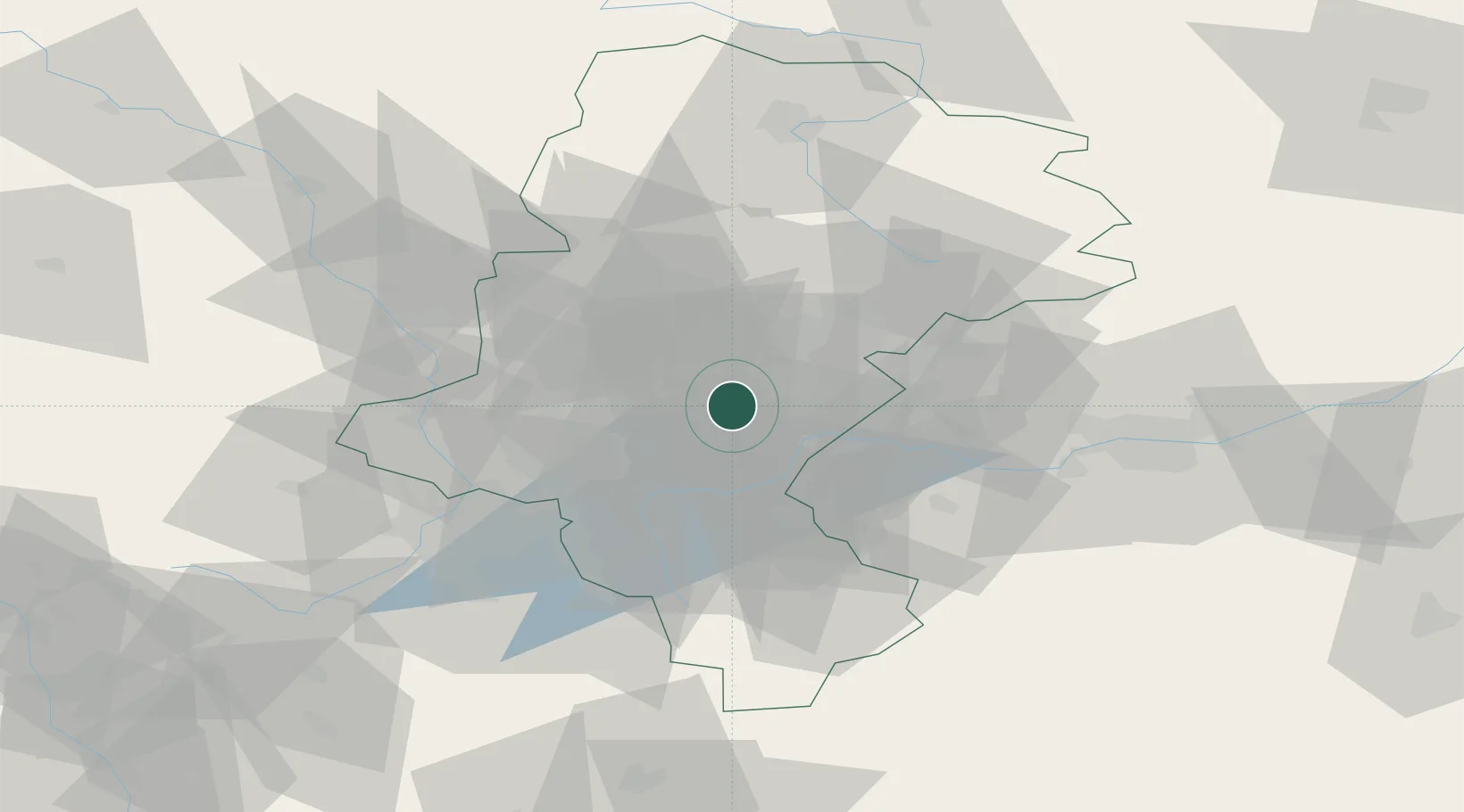
Nearby Logistics Neighbours

Cities
  1. 1Kamionka9 km
  2. 2Bierun Stary9 km
  3. 3Bojszowy11 km
  4. 4Swietochlowice17 km
  5. 5Siemianowice Slaskie19 km
Nearest neighbours — logibook spatial index (haversine) over the source coordinates
Ports
  1. 1Gdansk469 km
  2. 2Szczecin476 km
  3. 3Nowy Port477 km
  4. 4Police487 km
  5. 5Gdynia490 km
Nearest neighbours — logibook spatial index (haversine) over the source coordinates
Airports
  1. 1Katowice Wojciech Korfanty International Airport39 km
  2. 2Kraków John Paul II International Airport58 km
  3. 3Leoš Janáček Airport Ostrava79 km
  4. 4Žilina-Dolný Hričov Airport104 km
  5. 5Přerov Air Base138 km
Nearest neighbours — logibook spatial index (haversine) over the source coordinates
Trade Zones
  1. 1Katowice SEZ (Katowicka SSE)12 km
  2. 2Silesian Center for Logistics33 km
  3. 3Karvinská Specialized Economic Zone45 km
  4. 4Kraków Technology Park66 km
  5. 5Mošnov Development Area80 km
Nearest neighbours — logibook spatial index (haversine) over the source coordinates
DatabookThe Record of Consolidated Knowledge
Poland beyond logistics?
Browse databook

All Sources

LocationsUN/LOCODE
UN/LOCODE — free
Portsthe NGA World Port Index
Public domain (US gov)
AirportsOurAirports
Public domain
Trade Zonesthe World Bank SEZ database
CC BY 4.0
Trade ZonesOpen Zone Map
CC BY
← Poland locations