Transport Functions
Rail
Road
Hub Profile
Place type
Provincial seat
Region
West Pomerania
Population
71,224
Time zone
Europe/Warsaw
Elevation
21 m
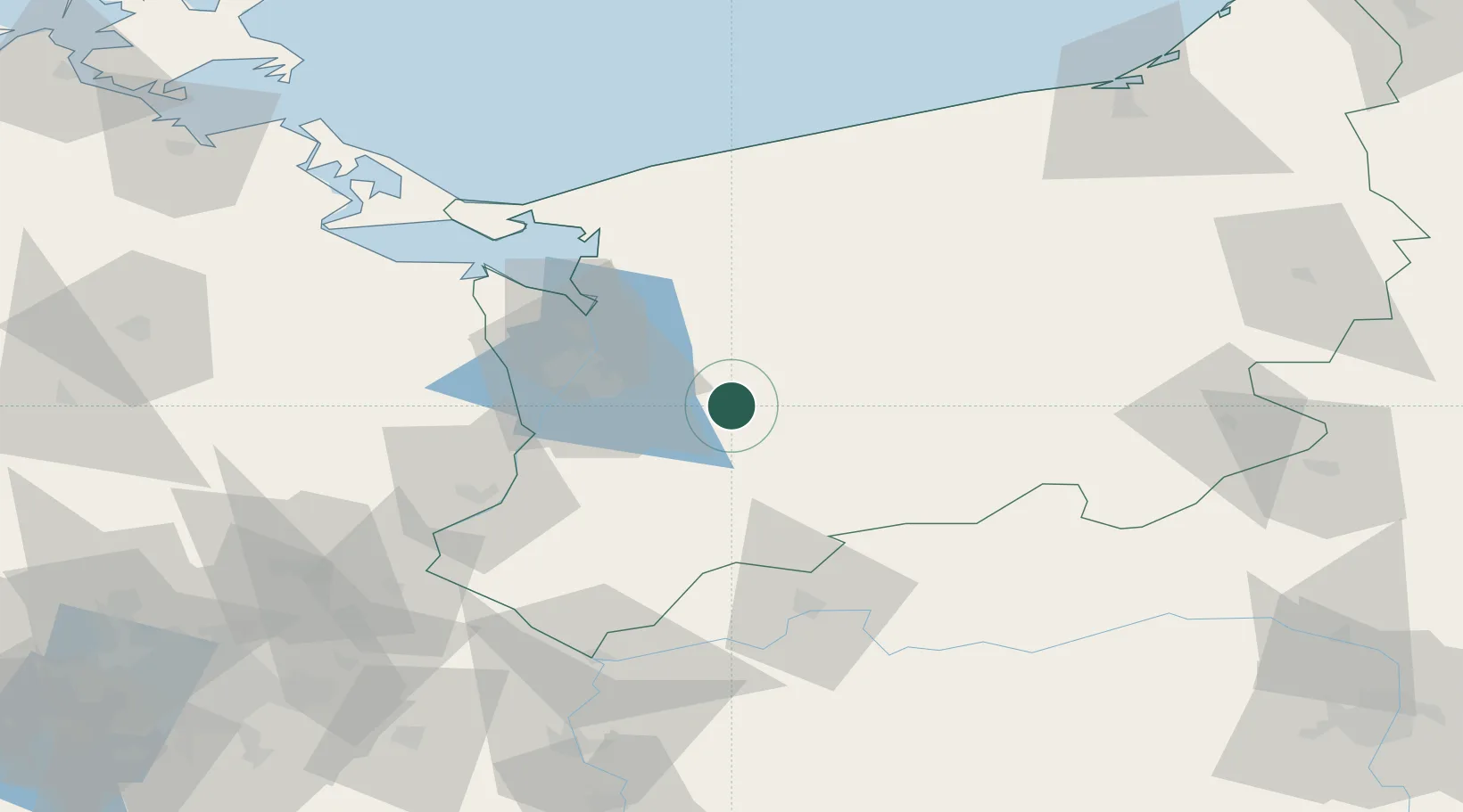
Location
Nearby Logistics Neighbours
Cities
- 1Stare Czarnowo17 km
- 2Kliniska Wielkie22 km
- 3Pyrzyce24 km
- 4Chociwel26 km
- 5Gardno27 km
Ports
- 1Szczecin32 km
- 2Police40 km
- 3Swinoujscie82 km
- 4Kolobrzeg104 km
- 5Wolgast114 km
Airports
Trade Zones
- 1Szczecin Duty Free Zone31 km
- 2Swinoujscie Duty Free Zone80 km
- 3Kostrzyń-Słubice SEZ86 km
- 4Słupsk SEZ (Słupska SSE)182 km
- 5Legnica SEZ (Legnicka SSE)237 km
DatabookThe Record of Consolidated Knowledge
Poland beyond logistics?